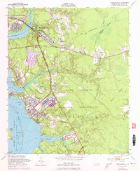
1952 Map of Camp Lejeune
USGS Topo · Published 1988About this map
The Camp Lejeune Military Reservation dominates this coastal landscape, showing the intensive development of the base and its surrounding communities during the mid-20th century. Residential growth is evident in Midway Park and Piney Green, where neighborhoods and numerous trailer parks supported the influx of military personnel and their families. Transport networks are a central theme, with the Seaboard Coast Line passing through Jacksonville and the U S Government R R serving the interior of the base.
Find a feature on this map
43 named features on this map. Tap any name to fly to it.
Don’t see what you’re looking for? This feature index may not catch every label — zoom into the map to look around manually.
Map Details
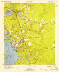
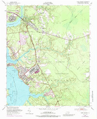
Editions of this 1952 Camp Lejeune Map
4 editions found
Other maps of this area

1942 · Maysville
USGS Topo · 1:62,500

1942 · Swansboro
USGS Topo · 1:62,500

1943 · Jacksonville
USGS Topo · 1:62,500

1948 · Maysville
USGS Topo · 1:62,500

1948 · Swansboro
USGS Topo · 1:62,500

1948 · New River
USGS Topo · 1:62,500

1952 · Hubert
USGS Topo · 1:24,000

1952 · Camp Lejeune
USGS Topo · 1:24,000

1952 · Jacksonville South
USGS Topo · 1:24,000

1952 · Browns Inlet
USGS Topo · 1:24,000
Featured Places
- Jacksonville, NC
- Piney Green, Jacksonville
- Marine Corps Base Camp Lejeune, NC
- Pinewood Downs, Jacksonville
- Holiday Mobile Home City, Jacksonville