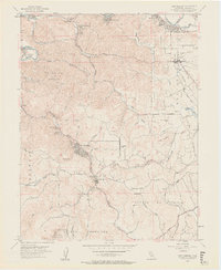
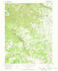
1954 Map of Camp Meeker
USGS Topo · Published 1962About this map
The Russian River winds through the northern reaches of this Sonoma County landscape, anchoring a series of riverside communities including Guerneville, Rio Dell, and Mirabel Heights. To the south, the terrain transitions into the dense timber and coastal valleys that define this part of the Redwood Empire. The deep-seated cultural and forestry history of the region is evident in the presence of Bohemian Grove and the Redwood Tree Farm, alongside youth and religious retreats like Westminster Woods and Alliance Redwood.
Find a feature on this map
67 named features on this map. Tap any name to fly to it.
Don’t see what you’re looking for? This feature index may not catch every label — zoom into the map to look around manually.
Map Details
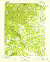
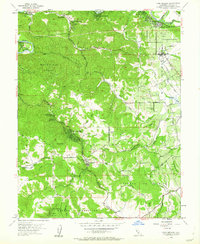
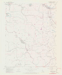
Editions of this 1954 Camp Meeker Map
5 editions found
Other maps of this area

1920 · Healdsburg
USGS Topo · 1:62,500

1921 · Skaggs
USGS Topo · 1:62,500

1933 · Healdsburg
USGS Topo · 1:48,000

1935 · Sebastopol
USGS Topo · 1:48,000

1940 · Healdsburg
USGS Topo · 1:62,500

1942 · Sebastopol
USGS Topo · 1:62,500

1942 · Bodega Head
USGS Topo · 1:24,000

1943 · Cazadero
USGS Topo · 1:24,000

1943 · Duncans Mills
USGS Topo · 1:24,000

1944 · Bodega Head
USGS Topo · 1:31,680