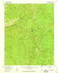
1956 Map of Camp Nelson
USGS Topo · Published 1959About this map
Mountain Home (Grove) State Forest and the surrounding Sequoia National Forest dominate this mid-century landscape, highlighting a region defined by its timber and wilderness resources. The map details a complex infrastructure of water management and recreation, featuring a powerhouse, flume, and penstock along the Middle Fork Tule River. Local industry and social history are anchored by landmarks like the Smith Mill and several established outposts, including Camp Nelson, Cedar Slope, and Camp Wishon.
Find a feature on this map
123 named features on this map. Tap any name to fly to it.
Don’t see what you’re looking for? This feature index may not catch every label — zoom into the map to look around manually.
Map Details
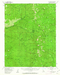
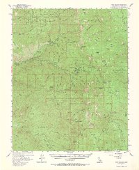
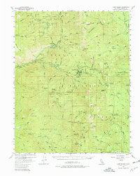
Editions of this 1956 Camp Nelson Map
4 editions found
Other maps of this area

1904 · Kaweah
USGS Topo · 1:125,000

1905 · Olancha
USGS Topo · 1:125,000

1905 · Fairview
USGS Topo · 1:24,000

1906 · Kernville
USGS Topo · 1:125,000

1907 · Olancha
USGS Topo · 1:125,000

1908 · Kernville
USGS Topo · 1:125,000

1909 · Kaweah
USGS Topo · 1:125,000

1918 · Fairview
USGS Topo · 1:31,680

1936 · White River
USGS Topo · 1:62,500

1936 · Tobias Peak
USGS Topo · 1:125,000