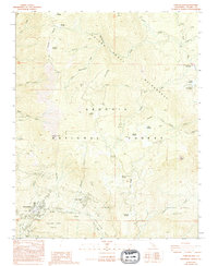
1987 Map of Camp Nelson
USGS Topo · Published 1994About this map
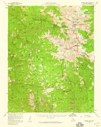
Camp Nelson and Cedar Slope serve as the primary human settlements in this high-altitude landscape of the Sequoia National Forest. The map documents a complex network of giant sequoia groves and mountain meadows, including the McIntyre Grove, Belknap Camp Grove, and Wheel Meadow Grove. These biological landmarks are concentrated near the Middle Fork Tule River and its tributaries, such as McIntyre Creek and Belknap Creek.
Find a feature on this map
52 named features on this map. Tap any name to fly to it.
Don’t see what you’re looking for? This feature index may not catch every label — zoom into the map to look around manually.
Map Details
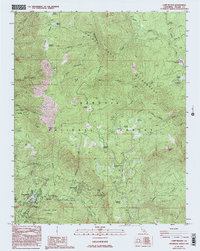
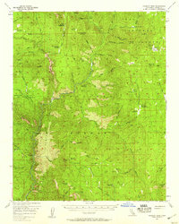
Editions of this 1987 Camp Nelson Map
3 editions found
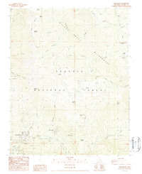
Other maps of this area

1904 · Kaweah
USGS Topo · 1:125,000

1905 · Olancha
USGS Topo · 1:125,000

1907 · Olancha
USGS Topo · 1:125,000

1909 · Kaweah
USGS Topo · 1:125,000

1937 · Kaweah
USGS Topo · 1:125,000

1948 · Fresno
USGS Topo · 1:250,000

1955 · Fresno
USGS Topo · 1:250,000

1956 · Fresno
USGS Topo · 1:250,000
1956 · Hockett Peak
USGS Topo · 1:62,500
1956 · Mineral King
USGS Topo · 1:62,500