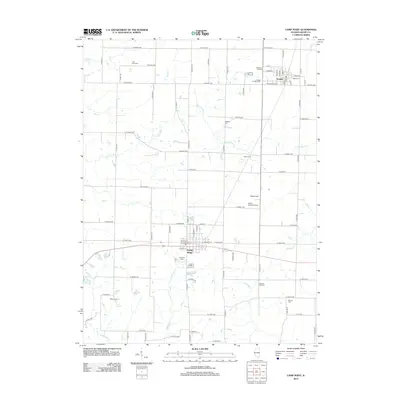
2012 Map of Camp Point
USGS Topo · Published 2012About this map
Camp Point and Golden anchor this section of Adams County, appearing here as they were during the early 21st century. The landscape is defined by a rigid grid of agricultural roads, such as N 2500th Ave and E 2050th St, which segment the terrain into productive farmland. Waterways like S Fork Bear Cr and Missouri Cr cut through this grid, creating natural breaks in the geometric layout of the county.
Find a feature on this map
82 named features on this map. Tap any name to fly to it.
Don’t see what you’re looking for? This feature index may not catch every label — zoom into the map to look around manually.
Map Details
Editions of this 2012 Camp Point Map
This is the sole edition of this map. No revisions or reprints were ever made.
Other maps of this area
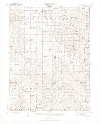
1925 · Liberty
USGS Topo · 1:62,500
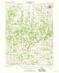
1926 · Mt Sterling
USGS Topo · 1:62,500
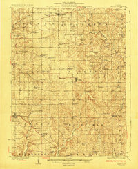
1927 · Liberty
USGS Topo · 1:62,500
1929 · Mt Sterling
USGS Topo · 1:62,500
1946 · Augusta
USGS Topo · 1:62,500
1948 · Quincy
USGS Topo · 1:250,000
1948 · Camp Point
USGS Topo · 1:62,500
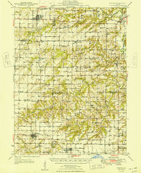
1949 · Augusta
USGS Topo · 1:62,500
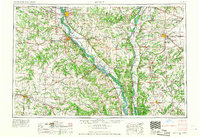
1956 · Quincy
USGS Topo · 1:250,000
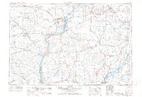
1958 · Burlington
USGS Topo · 1:250,000