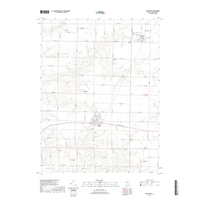
2018 Map of Camp Point
USGS Topo · Published 2018About this map
Camp Point and Golden anchor this Adams County landscape, showcasing a well-established grid of rural routes and significant local history sites. The terrain is deeply etched by a network of waterways including S Fork Bear Cr, Missouri Cr, and Walnut Fork, which create complex drainage patterns across the agricultural uplands. Genealogists will find a high density of burial sites preserved here, ranging from the Lutheran Friedhof Cem near Golden to the secluded York Neck Cem and Wilkes Cem. The map illustrates the transition from the concentrated street plans of the villages, featuring names like School St and Albers St, to the wide-reaching network of county roads such as Co Rd 2500 N and W Outerbelt Dr. This 2018 survey documents the enduring spatial relationship between these small Illinois towns and the creeks that have defined their topography for generations.
Find a feature on this map
61 named features on this map. Tap any name to fly to it.
Don’t see what you’re looking for? This feature index may not catch every label — zoom into the map to look around manually.
Map Details
Editions of this 2018 Camp Point Map
This is the sole edition of this map. No revisions or reprints were ever made.
Other maps of this area

1925 · Liberty
USGS Topo · 1:62,500

1926 · Mt Sterling
USGS Topo · 1:62,500

1927 · Liberty
USGS Topo · 1:62,500

1929 · Mt Sterling
USGS Topo · 1:62,500

1946 · Augusta
USGS Topo · 1:62,500

1948 · Quincy
USGS Topo · 1:250,000

1948 · Camp Point
USGS Topo · 1:62,500

1949 · Augusta
USGS Topo · 1:62,500

1956 · Quincy
USGS Topo · 1:250,000

1958 · Burlington
USGS Topo · 1:250,000