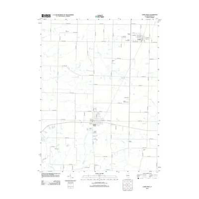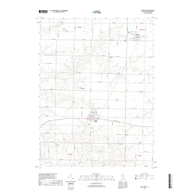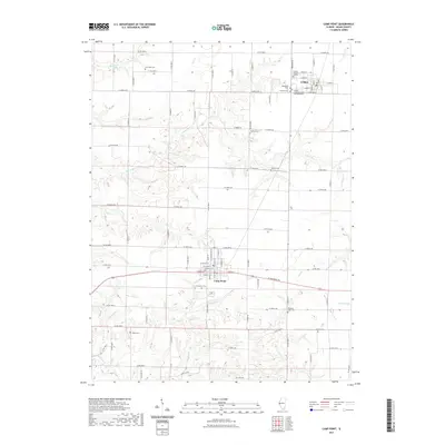
2024 Map of Camp Point
USGS Topo · Published 2024About this map
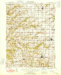
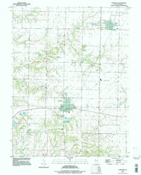
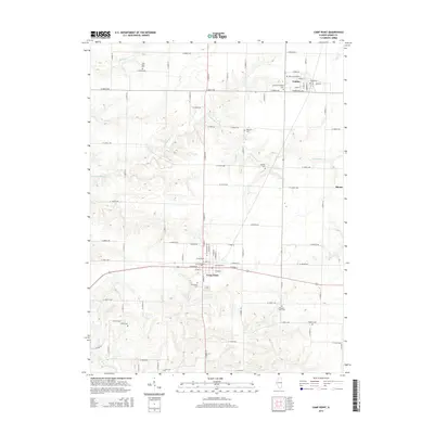
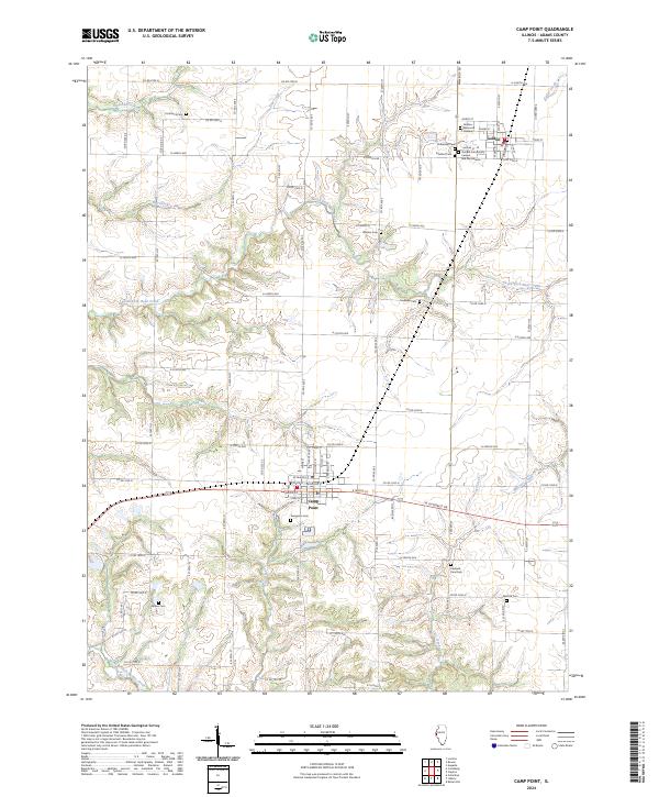
The agrarian landscape of eastern Adams County is defined by a dense concentration of pioneer and community burial grounds, illustrating the deep-rooted family lineages of the region. Camp Point serves as a primary hub in the south, while Golden anchors the northeast corner, both connected by a rigid grid of county roads that navigate the headwaters of several drainages. The terrain shifts from the flat divides of the interior to the dissected valleys carved by Bigneck Creek and North Branch McKee Creek. This 2024 survey documents numerous small cemeteries, such as the York Neck Cem, Friedhof Cem, and the Golden Community Cem and Mausoleum, which offer significant value for genealogists tracing local families. The presence of Golden Memorial Gardens and Evergreen Cem further emphasizes the area's long-standing role as a focal point for the surrounding rural townships.
Find a feature on this map
41 named features on this map. Tap any name to fly to it.
Don’t see what you’re looking for? This feature index may not catch every label — zoom into the map to look around manually.
Map Details
Editions of this 2024 Camp Point Map
This is the sole edition of this map. No revisions or reprints were ever made.
Historical Maps of Camp Point Through Time
8 maps found