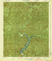
1940 Map of Camp Rincon
USGS Topo · Published 1940About this map
The San Gabriel National Forest dominates this 1930s landscape, centered on the complex convergence of the West Fork, North Fork, and East Fork of the San Gabriel River. This era captures a critical moment in regional water management, featuring the recently constructed San Gabriel Dam No 1 and the San Gabriel Control Reservoir, which feed south toward the Morris Reservoir. The canyon bottoms are marked by early Forest Service and recreational outposts, including Coldbrook Camp and the Camp Rincon Guard Sta. Educational infrastructure for the canyon community is represented by the Canyon Sch near the river bend. The surrounding topography is defined by prominent peaks like Smith Mtn and Pine Mtn, with a network of Firebreak lines cut across the steep ridges to protect the watershed.
Find a feature on this map
28 named features on this map. Tap any name to fly to it.
Don’t see what you’re looking for? This feature index may not catch every label — zoom into the map to look around manually.
Map Details
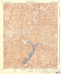
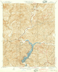
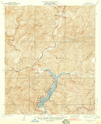
Editions of this 1940 Camp Rincon Map
4 editions found
Other maps of this area

1894 · Pomona
USGS Topo · 1:62,500

1897 · Pomona
USGS Topo · 1:62,500

1898 · Pomona
USGS Topo · 1:62,500

1901 · Southern California Sheet No. 1
USGS Topo · 1:250,000

1903 · Rock Creek
USGS Topo · 1:62,500

1904 · Pomona
USGS Topo · 1:62,500

1904 · Southern California Sheet No. 1
USGS Topo · 1:250,000
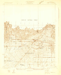
1925 · Azusa
USGS Topo · 1:24,000
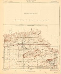
1927 · Glendora
USGS Topo · 1:24,000
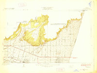
1928 · La Verne
USGS Topo · 1:24,000