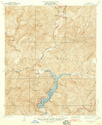
1940 Map of Camp Rincon
USGS Topo · Published 1940About this map
San Gabriel Mountains hydrology and infrastructure dominate this 1930s-era topography, focused on the critical water management systems north of Azusa. The San Gabriel Flood Control Reservoir and Morris Reservoir are centerpieces of the landscape, managed by the massive San Gabriel Dam No 1. These engineering works transformed the deep canyons where the North Fork and West Fork converge, marking a significant era of regional flood control and water storage for Los Angeles County.
Find a feature on this map
32 named features on this map. Tap any name to fly to it.
Don’t see what you’re looking for? This feature index may not catch every label — zoom into the map to look around manually.
Map Details
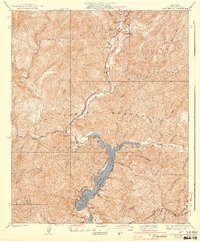
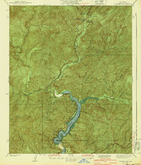
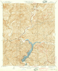
Editions of this 1940 Camp Rincon Map
4 editions found
Other maps of this area

1894 · Pomona
USGS Topo · 1:62,500

1897 · Pomona
USGS Topo · 1:62,500

1898 · Pomona
USGS Topo · 1:62,500

1901 · Southern California Sheet No. 1
USGS Topo · 1:250,000

1903 · Rock Creek
USGS Topo · 1:62,500

1904 · Pomona
USGS Topo · 1:62,500

1904 · Southern California Sheet No. 1
USGS Topo · 1:250,000
1925 · Azusa
USGS Topo · 1:24,000
1927 · Glendora
USGS Topo · 1:24,000
1928 · La Verne
USGS Topo · 1:24,000