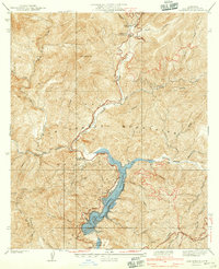
1940 Map of Camp Rincon
USGS Topo · Published 1940About this map
The San Gabriel Mountains dominate this 1940 survey, providing a detailed record of water management and forest service infrastructure within the Angeles National Forest. The landscape is centered on the massive San Gabriel Flood Control Reservoir and San Gabriel Dam No 1, which regulated the seasonal flows from the West Fork and East Fork of the river. Just downstream, the northern reach of Morris Reservoir is visible, illustrating the scale of engineering required to manage the region's watershed.
Find a feature on this map
52 named features on this map. Tap any name to fly to it.
Don’t see what you’re looking for? This feature index may not catch every label — zoom into the map to look around manually.
Map Details
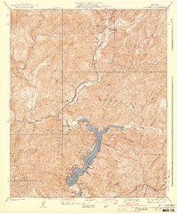
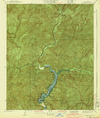
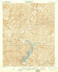
Editions of this 1940 Camp Rincon Map
4 editions found
Other maps of this area

1894 · Pomona
USGS Topo · 1:62,500

1897 · Pomona
USGS Topo · 1:62,500

1898 · Pomona
USGS Topo · 1:62,500

1901 · Southern California Sheet No. 1
USGS Topo · 1:250,000

1903 · Rock Creek
USGS Topo · 1:62,500

1904 · Pomona
USGS Topo · 1:62,500

1904 · Southern California Sheet No. 1
USGS Topo · 1:250,000
1925 · Azusa
USGS Topo · 1:24,000
1927 · Glendora
USGS Topo · 1:24,000
1928 · La Verne
USGS Topo · 1:24,000