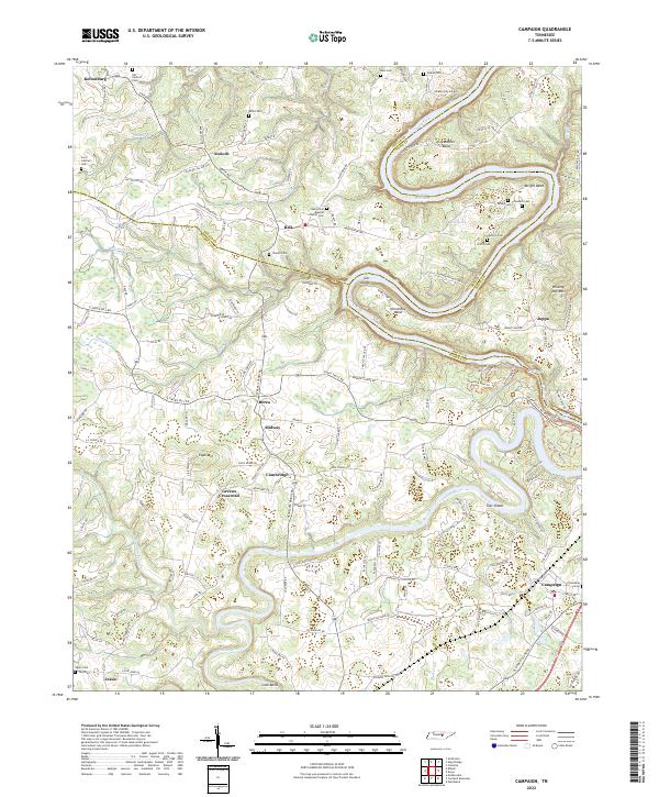
2022 Map of Campaign
USGS Topo · Published 2022About this map
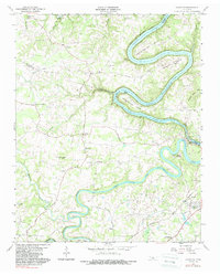
Caney Fork and the Collins River dominate this landscape where DeKalb, Warren, and White counties meet. The area is characterized by dramatic river bends such as Greenbrier Bend, Horseshoe Bend, and Lock Bend, which carved the undulating terrain long before modern development. Smaller agricultural and residential settlements like Belk, Berea, and Antioch are connected by a network of rural routes, including Antioch Rd and Green Hill Rd. Genealogists will find a high concentration of family-named burial sites, including the Javis Cantrell Cem, Griffin Cem, and Chisam Cem, reflecting generations of local landownership. The eastern edge features Great Falls and the Blue Hole, marking the descent toward the Center Hill Lake reservoir. Notable landmarks such as the New Union Baptist Church and the community at Campaign anchor the rural social geography of the region.
Find a feature on this map
153 named features on this map. Tap any name to fly to it.
Don’t see what you’re looking for? This feature index may not catch every label — zoom into the map to look around manually.
Map Details
Editions of this 2022 Campaign Map
This is the sole edition of this map. No revisions or reprints were ever made.
Historical Maps of Jessie Through Time
14 maps found

1893 Mc Minnville
Warren County, TN
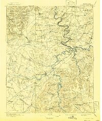
1895 Mc Minnville
Warren County, TN
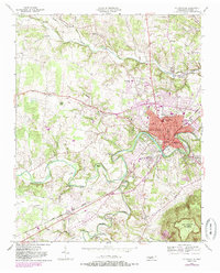
1953 Mc Minnville
Warren County, TN
1957 Cardwell Mountain
Warren County, TN
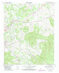
1960 Campaign
Warren County, TN
1960 Curtistown
Warren County, TN
1960 Dibrell
Warren County, TN
1960 Irving College
Warren County, TN

1981 Mc Minnville
Warren County, TN
2022 Campaign
Warren County, TN
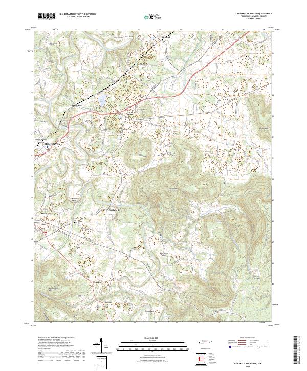
2022 Cardwell Mountain
Warren County, TN
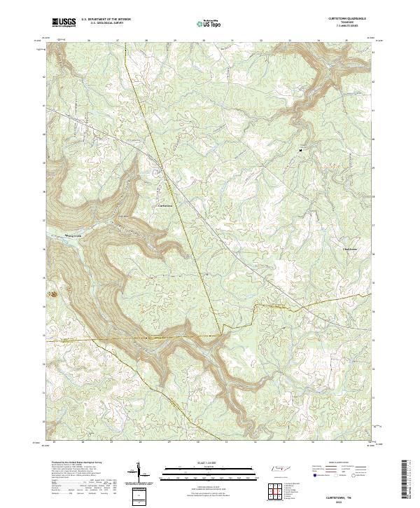
2022 Curtistown
Warren County, TN
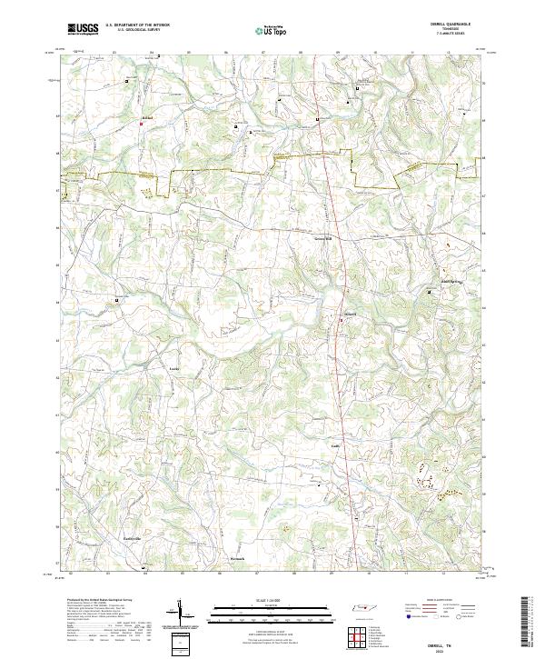
2022 Dibrell
Warren County, TN
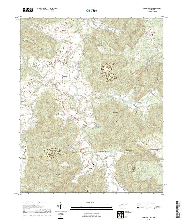
2022 Irving College
Warren County, TN