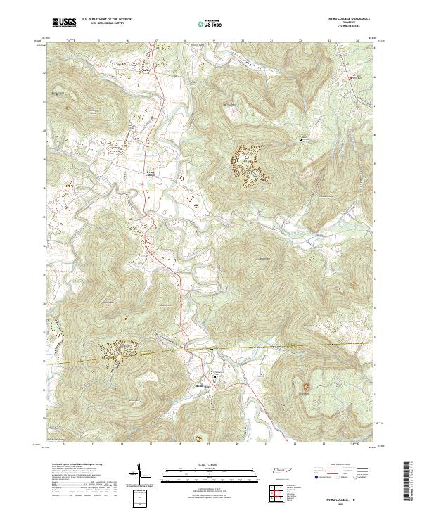
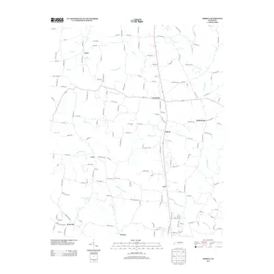
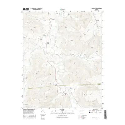
2022 Map of Irving College
USGS Topo · Published 2022About this map
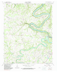
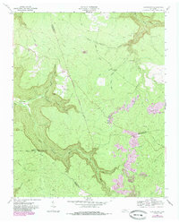
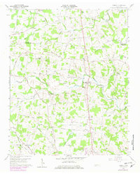
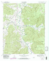
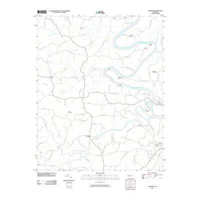
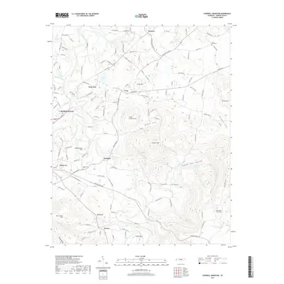
The settlement of Irving College sits at a junction of valley roads where the Collins River begins its winding course through the Cumberland Plateau's edge. This landscape is defined by its deep coves and prominent ridges, including Ben Lomond Mtn and Nunley Mtn, which frame the agricultural lands surrounding Mount Olive and Safley. The map details a complex network of local routes like Slaughter Bend Rd and Hurricane Hollow Rd that follow the natural contours of the limestone terrain. Genealogists and local historians will find significant landmarks such as Philadelphia Cem and Zion Cem, along with the small Denney Airport. The southern portion of the map traces the Warren Co Grundy Co boundary as it cuts across the high peaks of Dykes Mtn and into the recesses of Cove Hollow.
Find a feature on this map
84 named features on this map. Tap any name to fly to it.
Don’t see what you’re looking for? This feature index may not catch every label — zoom into the map to look around manually.
Map Details
Editions of this 2022 Irving College Map
This is the sole edition of this map. No revisions or reprints were ever made.
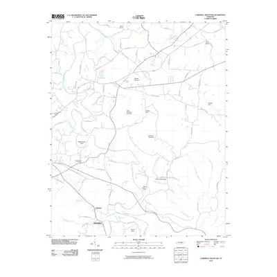
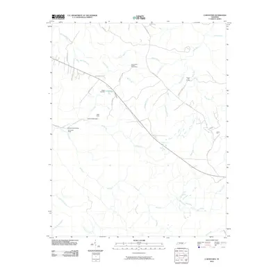
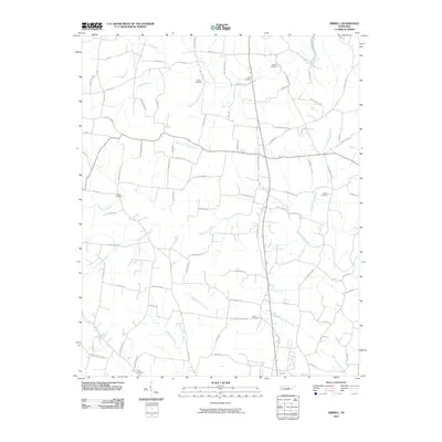
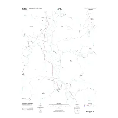
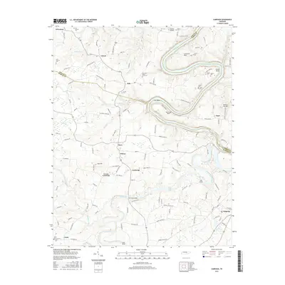
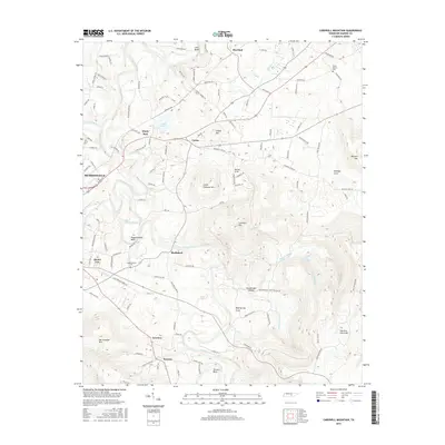
Historical Maps of Safley Through Time
34 maps found

1893 Mc Minnville
Warren County, TN
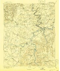
1895 Mc Minnville
Warren County, TN
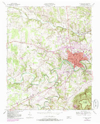
1953 Mc Minnville
Warren County, TN
1957 Cardwell Mountain
Warren County, TN
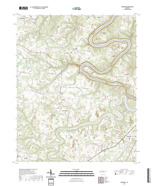
1960 Campaign
Warren County, TN
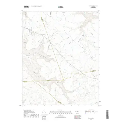
1960 Curtistown
Warren County, TN
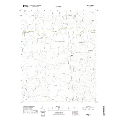
1960 Dibrell
Warren County, TN
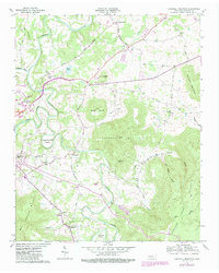
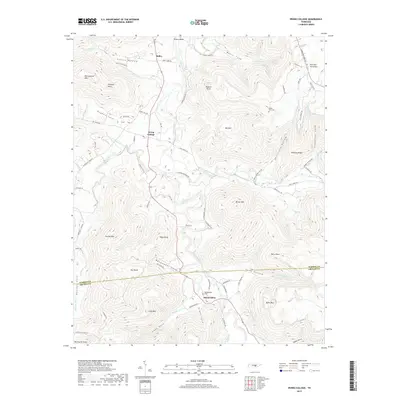
1960 Irving College
Warren County, TN

1981 Mc Minnville
Warren County, TN
2010 Campaign
Warren County, TN
2010 Cardwell Mountain
Warren County, TN
2010 Curtistown
Warren County, TN
2010 Dibrell
Warren County, TN
2010 Irving College
Warren County, TN
2013 Campaign
Warren County, TN
2013 Cardwell Mountain
Warren County, TN
2013 Curtistown
Warren County, TN
2013 Dibrell
Warren County, TN
2013 Irving College
Warren County, TN
2016 Campaign
Warren County, TN
2016 Cardwell Mountain
Warren County, TN
2016 Curtistown
Warren County, TN
2016 Dibrell
Warren County, TN
2016 Irving College
Warren County, TN
2019 Campaign
Warren County, TN
2019 Cardwell Mountain
Warren County, TN
2019 Curtistown
Warren County, TN
2019 Dibrell
Warren County, TN
2019 Irving College
Warren County, TN
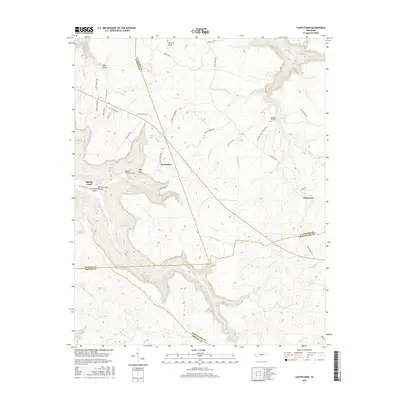
2022 Campaign
Warren County, TN
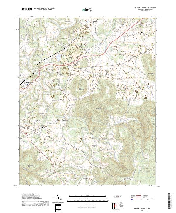
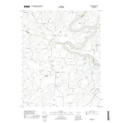
2022 Cardwell Mountain
Warren County, TN
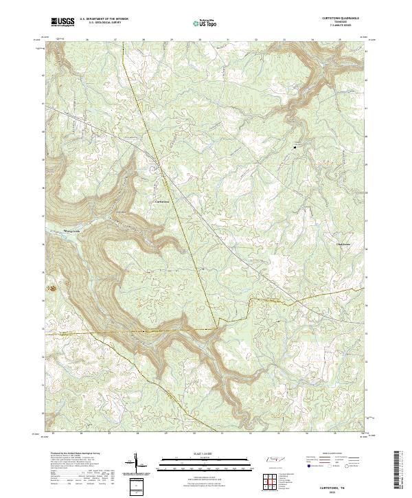
2022 Curtistown
Warren County, TN
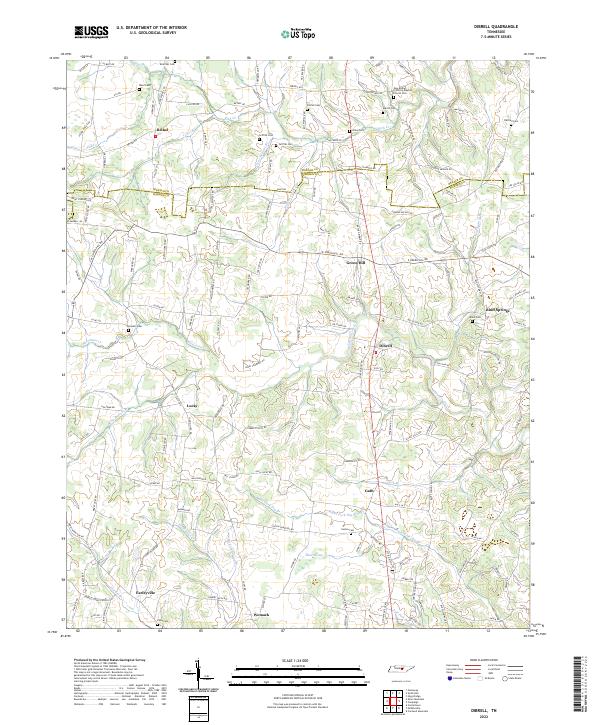
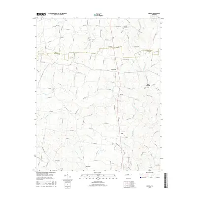
2022 Dibrell
Warren County, TN
2022 Irving College
Warren County, TN