Loading...
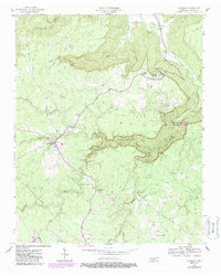
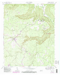
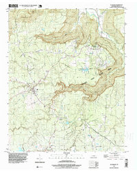
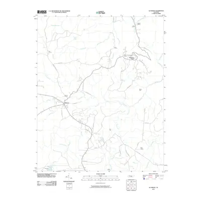
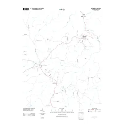
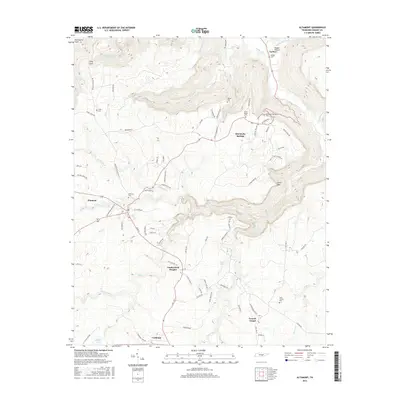
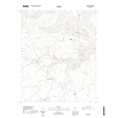
Loading map...1956 Map of Altamont
USGS Topo · Published 1957About this map
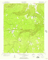
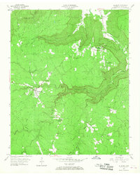
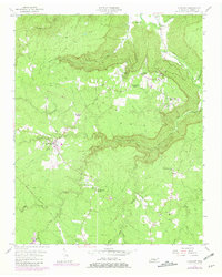
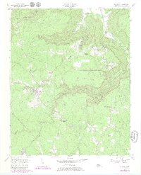
Altamont serves as the central hub of this mid-century survey, situated atop the plateau where the headwaters of Piney Creek and Rock Creek begin their descent. The landscape is defined by deep incisions like Northcutts Cove and Savage Cove, which reveal the dramatic topography of the Cumberland Plateau. A notable historical corridor is the Old Chattanooga Stage Road, which winds along the eastern ridge near Beersheba Springs, tracing a transportation route that predates modern highway engineering.
Find a feature on this map
36 named features on this map. Tap any name to fly to it.
Don’t see what you’re looking for? This feature index may not catch every label — zoom into the map to look around manually.
Map Details
Date Portrayed1956
Date Published1957
PublisherU.S. Geological Survey
Map TypeTopographic
Scale1:24,000
Physical Dimensions22 x 27.5 inches
Editions of this 1956 Altamont Map
6 editions found
Historical Maps of Gruetli-Laager Through Time
7 maps found

Featured Locations
Source Details
SourceU.S. Geological Survey
CopyrightPublic Domain