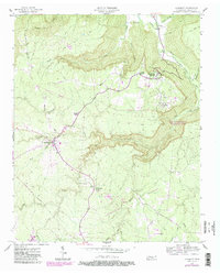
1956 Map of Altamont
USGS Topo · Published 1987About this map
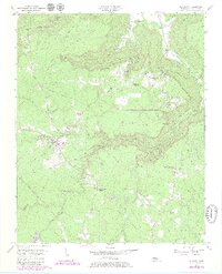
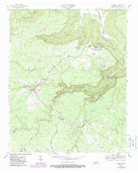
Beersheba Springs and the surrounding reaches of the Cumberland Plateau define this mid-20th-century landscape, where remote settlements are connected by historic transit routes and small-scale industry. The map captures the alignment of the Old Chattanooga Mc Minnville Stage Road, a vital artery cutting through the hills toward the Collins River. In the southern portion of the quadrangle, the transition to an industrial economy is evident near Gruetli-Laager with the presence of Strip Mines and the Cumberland Heights Substation. Genealogy researchers will find significant value in the distribution of family-named landmarks and rural institutions, including Walker Cem, Fults Cem, and several local houses of worship such as Grace Chapel and Killians Chapel. The terrain is deeply dissected by drainages like Big Creek and Taylor Creek, while the South Cumberland Recreation Area and the Stone Door geological feature highlight the area's natural landmarks.
Find a feature on this map
37 named features on this map. Tap any name to fly to it.
Don’t see what you’re looking for? This feature index may not catch every label — zoom into the map to look around manually.
Map Details
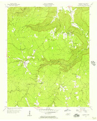
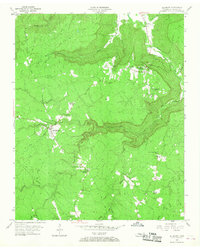
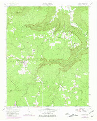
Editions of this 1956 Altamont Map
6 editions found
Other maps of this area

1893 · Mc Minnville
USGS Topo · 1:125,000

1895 · Mc Minnville
USGS Topo · 1:125,000

1895 · Sewanee
USGS Topo · 1:125,000

1936 · Palmer
USGS Topo · 1:24,000

1936 · Burrow Cove
USGS Topo · 1:24,000

1936 · Tracy City
USGS Topo · 1:24,000

1936 · Cane Hollow
USGS Topo · 1:24,000

1943 · Mc Minnville
USGS Topo · 1:100,000
1947 · Burrow Cove
USGS Topo · 1:24,000
1947 · Tracy City
USGS Topo · 1:24,000