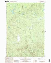
1989 Map of Campbell Brook
USGS Topo · Published 1989About this map
The Canada United States border cuts through this northern Maine landscape, where the Penobscot River winds through unorganized territories in the late 1980s. This transitional zone between Quebec and Maine is defined by its complex hydrology and timberland geography, featuring a high density of named ponds and brooks that feed into the larger river systems. Significant landmarks include Moose Mtn and No 2 Mtn, which overlook a network of logging roads and a lone Gravel Pit. The map documents the intricate township lines of Prentiss, Blake Gore, and Sandy Bay, reflecting the unique administrative divisions of the Maine North Woods. Notable water features like Little Canada Falls on the Penobscot and the headwaters of Sandy Stream indicate the terrain's varied drainage patterns.
Find a feature on this map
41 named features on this map. Tap any name to fly to it.
Don’t see what you’re looking for? This feature index may not catch every label — zoom into the map to look around manually.
Map Details
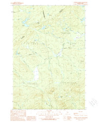
Editions of this 1989 Campbell Brook Map
2 editions found
Other maps of this area

1922 · Long Pond
USGS Topo · 1:62,500

1923 · Attean
USGS Topo · 1:62,500

1924 · Long Pond
USGS Topo · 1:62,500

1925 · Attean
USGS Topo · 1:62,500

1927 · Sandy Bay
USGS Topo · 1:48,000

1930 · Sandy Bay
USGS Topo · 1:62,500

1944 · Long Pond
USGS Topo · 1:62,500

1944 · Sandy Bay
USGS Topo · 1:62,500

1949 · Jackman
USGS Topo · 1:250,000

1950 · Attean
USGS Topo · 1:50,000