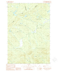
1989 Map of Campbell Brook
USGS Topo · Published 1989About this map
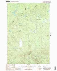
The Penobscot River winds through this international borderland, where the remote timberlands of Somerset County meet Quebec. The landscape is defined by the complex hydrology of the North Woods, featuring a network of drainage including Threemile Brook, McKain Brook, and the South Branch. Elevations shift from the waters of Campbell Pond to the prominent heights of Bald Mountain and Moose Mtn.
Find a feature on this map
41 named features on this map. Tap any name to fly to it.
Don’t see what you’re looking for? This feature index may not catch every label — zoom into the map to look around manually.
Map Details
Editions of this 1989 Campbell Brook Map
2 editions found
Other maps of this area

1922 · Long Pond
USGS Topo · 1:62,500

1923 · Attean
USGS Topo · 1:62,500

1924 · Long Pond
USGS Topo · 1:62,500

1925 · Attean
USGS Topo · 1:62,500

1927 · Sandy Bay
USGS Topo · 1:48,000

1930 · Sandy Bay
USGS Topo · 1:62,500

1944 · Long Pond
USGS Topo · 1:62,500

1944 · Sandy Bay
USGS Topo · 1:62,500

1949 · Jackman
USGS Topo · 1:250,000

1950 · Attean
USGS Topo · 1:50,000