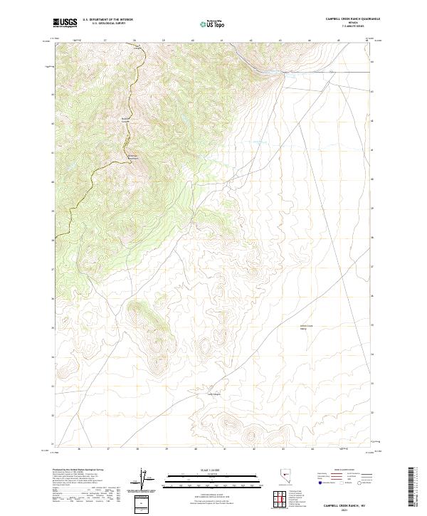
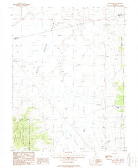
2021 Map of Campbell Creek Ranch
USGS Topo · Published 2021About this map
The high desert terrain of the Desatoya Mountains dominates this portion of the Great Basin, where the border between Churchill and Lander Counties follows the high ridgelines. The landscape is defined by its dramatic drainage patterns, with steep corridors like Skull Canyon and Buffalo Canyon cutting through the upland slopes. These drainages give way to the broader expanses of the Smith Creek Valley to the southeast, illustrating the classic basin and range structure of central Nevada.
Find a feature on this map
13 named features on this map. Tap any name to fly to it.
Don’t see what you’re looking for? This feature index may not catch every label — zoom into the map to look around manually.
Map Details
Editions of this 2021 Campbell Creek Ranch Map
This is the sole edition of this map. No revisions or reprints were ever made.
Other maps of this area

1955 · Millett
USGS Topo · 1:250,000

1956 · South Shoshone Peak
USGS Topo · 1:62,500

1959 · Millett
USGS Topo · 1:250,000

1969 · Desatoya Peak
USGS Topo · 1:24,000

1969 · Carroll Summit
USGS Topo · 1:24,000
1969 · Burnt Cabin Summit
USGS Topo · 1:24,000
1969 · Carroll Summit SE
USGS Topo · 1:24,000
1969 · Buffalo Summit
USGS Topo · 1:24,000

1985 · Smith Creek Valley
USGS Topo · 1:100,000
1988 · Midas Spring
USGS Topo · 1:24,000