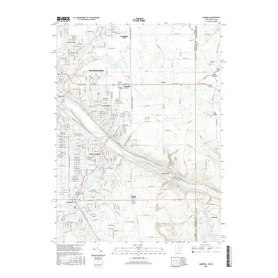
2016 Map of Campbell
USGS Topo · Published 2016About this map
The Mahoning River corridor serves as the industrial and geographic spine of this region, connecting the heavy manufacturing centers of Youngstown, Campbell, and Struthers. This 2016 survey illustrates the dense urban grid of Haselton and Scienceville alongside modern infrastructure. The landscape is dotted with significant genealogical sites, including the Pioneer Methodist Cem and Temple Emanuel Cem, which reflect the diverse immigrant communities that built the local steel economy.
Find a feature on this map
74 named features on this map. Tap any name to fly to it.
Don’t see what you’re looking for? This feature index may not catch every label — zoom into the map to look around manually.
Map Details
Editions of this 2016 Campbell Map
This is the sole edition of this map. No revisions or reprints were ever made.
Other maps of this area

1902 · New Castle
USGS Topo · 1:62,500

1904 · Newcastle
USGS Topo · 1:62,500

1905 · Neshannock
USGS Topo · 1:62,500

1906 · Youngstown
USGS Topo · 1:62,500

1907 · Neshannock
USGS Topo · 1:62,500

1907 · Columbiana
USGS Topo · 1:62,500

1908 · Youngstown
USGS Topo · 1:62,500

1909 · Columbiana
USGS Topo · 1:62,500

1950 · Cleveland
USGS Topo · 1:250,000

1951 · Canton
USGS Topo · 1:250,000