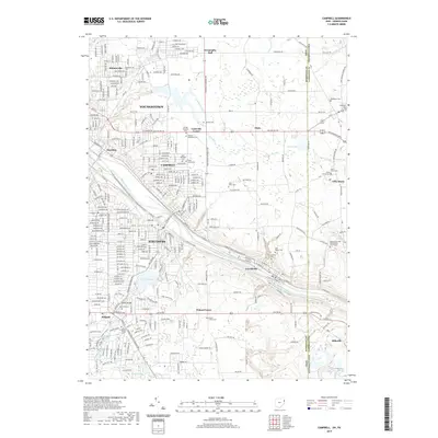
2019 Map of Campbell
USGS Topo · Published 2019About this map
The Mahoning River winds through this industrial and residential landscape, anchoring the interconnected communities of Campbell, Struthers, and Lowellville. In the early 21st century, the area retains a dense network of suburban streets and established neighborhoods like Scienceville and Haselton, situated just east of Youngstown. The map reveals a significant concentration of local heritage sites, including numerous religious and memorial grounds such as the Temple Emanuel, Saint Nicholas Cem, and the Mahoning United Presbyterian Church Cem.
Find a feature on this map
60 named features on this map. Tap any name to fly to it.
Don’t see what you’re looking for? This feature index may not catch every label — zoom into the map to look around manually.
Map Details
Editions of this 2019 Campbell Map
This is the sole edition of this map. No revisions or reprints were ever made.
Other maps of this area

1902 · New Castle
USGS Topo · 1:62,500

1904 · Newcastle
USGS Topo · 1:62,500

1905 · Neshannock
USGS Topo · 1:62,500

1906 · Youngstown
USGS Topo · 1:62,500

1907 · Neshannock
USGS Topo · 1:62,500

1907 · Columbiana
USGS Topo · 1:62,500

1908 · Youngstown
USGS Topo · 1:62,500

1909 · Columbiana
USGS Topo · 1:62,500

1950 · Cleveland
USGS Topo · 1:250,000

1951 · Canton
USGS Topo · 1:250,000