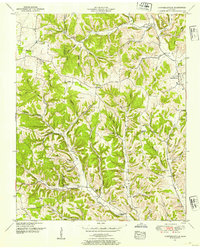
1951 Map of Campbellsville
USGS Topo · Published 1954About this map
Campbellsville serves as a central hub in this mid-century portrait of the Giles Co and Lawrence Co borderlands. The landscape is defined by an intricate network of hollows and ridges, where small communities like Marcella Falls and Liberty Hill took root along fertile creek bottoms. The settlement pattern here is distinctly rural and decentralized, with civic life anchored by a high density of country churches and schools, such as the Owen School and County Line Church.
Find a feature on this map
69 named features on this map. Tap any name to fly to it.
Don’t see what you’re looking for? This feature index may not catch every label — zoom into the map to look around manually.
Map Details
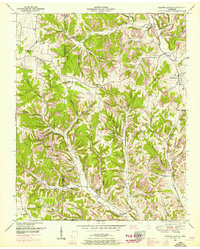
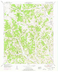
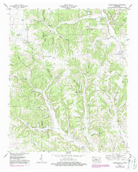
Editions of this 1951 Campbellsville Map
4 editions found
Other maps of this area

1936 · Sandy Hook
USGS Topo · 1:24,000

1936 · Milky Way
USGS Topo · 1:24,000

1936 · Campbellsville
USGS Topo · 1:24,000

1936 · Lawrenceburg
USGS Topo · 1:24,000

1936 · Ethridge
USGS Topo · 1:24,000

1936 · Pulaski
USGS Topo · 1:24,000

1936 · Crestview
USGS Topo · 1:24,000

1936 · Bodenham
USGS Topo · 1:24,000

1936 · Lynnville
USGS Topo · 1:24,000

1948 · Bodenham
USGS Topo · 1:24,000