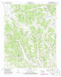
1951 Map of Campbellsville
USGS Topo · Published 1985About this map
Campbellsville serves as a primary settlement point on this mid-century survey of the Lawrence Co and Giles Co border. The landscape is defined by a dense network of hollows and ridges, where small communities like Marcella Falls and Liberty Hill are connected by winding roads and light-duty trails. Family history is deeply etched into the terrain through numerous small burial grounds and rural houses of worship, such as Union Valley Church and Rose Hill Church.
Find a feature on this map
60 named features on this map. Tap any name to fly to it.
Don’t see what you’re looking for? This feature index may not catch every label — zoom into the map to look around manually.
Map Details
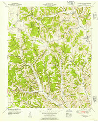
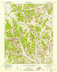
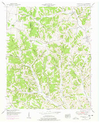
Editions of this 1951 Campbellsville Map
4 editions found
Other maps of this area

1936 · Sandy Hook
USGS Topo · 1:24,000

1936 · Milky Way
USGS Topo · 1:24,000

1936 · Campbellsville
USGS Topo · 1:24,000

1936 · Lawrenceburg
USGS Topo · 1:24,000

1936 · Ethridge
USGS Topo · 1:24,000

1936 · Pulaski
USGS Topo · 1:24,000

1936 · Crestview
USGS Topo · 1:24,000

1936 · Bodenham
USGS Topo · 1:24,000

1936 · Lynnville
USGS Topo · 1:24,000

1948 · Bodenham
USGS Topo · 1:24,000