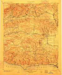
1903 Map of Camulos
USGS Topo · Published 1912About this map
The Southern Pacific RR carves through the Santa Clara River valley, connecting the early railway hubs of Saugus and Newhall with the citrus-growing districts near Camulos and Fillmore. Surveyed around the turn of the century, this landscape is a patchwork of sprawling land grants including Ex Mission San Fernando, Las Posas, and El Conejo, reflecting the transition from large rancho holdings to early town development. The map details the coastal interface at the Pacific Ocean, showing the long-vanished Port Los Angeles near Santa Monica before modern harbor developments reshaped the shoreline. From the high peaks of the Santa Susana Mountains to the growing agriculture in Simi Valley, the region is defined by its rugged topography and the essential rail links that supported communities like Moorpark and Somis.
Find a feature on this map
104 named features on this map. Tap any name to fly to it.
Don’t see what you’re looking for? This feature index may not catch every label — zoom into the map to look around manually.
Map Details
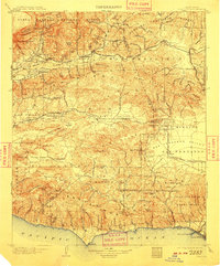
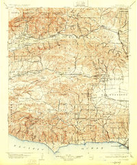
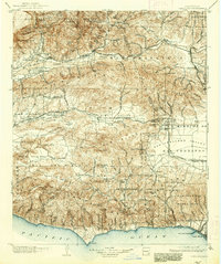
Editions of this 1903 Camulos Map
5 editions found

Other maps of this area

1894 · Los Angeles
USGS Topo · 1:62,500

1896 · Redondo
USGS Topo · 1:62,500

1896 · Santa Monica
USGS Topo · 1:62,500

1898 · Santa Monica
USGS Topo · 1:62,500

1900 · Los Angeles
USGS Topo · 1:62,500

1900 · Fernando
USGS Topo · 1:62,500

1900 · Triunfo Pass
USGS Topo · 1:62,500

1900 · Piru
USGS Topo · 1:62,500

1901 · Southern California Sheet No. 1
USGS Topo · 1:250,000

1902 · Santa Monica
USGS Topo · 1:62,500