
1903 Map of Camulos
USGS Topo · Published 1903About this map
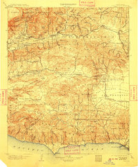
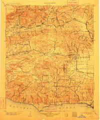
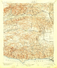
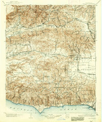
The Santa Clara River valley and the high Santa Monica Mountains define this Southern California landscape at the start of the twentieth century. The map centers on the ranch lands and early agricultural hubs of Ventura and Los Angeles counties, including the historic ranch site at Camulos and the burgeoning rail junctions at Saugus and Newhall. Industrial development is evident in the Oil Canyon and Modelo Canyon areas, where early petroleum extraction was beginning to shape the region's economy.
Find a feature on this map
167 named features on this map. Tap any name to fly to it.
Don’t see what you’re looking for? This feature index may not catch every label — zoom into the map to look around manually.
Map Details
Editions of this 1903 Camulos Map
5 editions found
Other maps of this area

1894 · Los Angeles
USGS Topo · 1:62,500

1896 · Redondo
USGS Topo · 1:62,500

1896 · Santa Monica
USGS Topo · 1:62,500

1898 · Santa Monica
USGS Topo · 1:62,500

1900 · Los Angeles
USGS Topo · 1:62,500

1900 · Fernando
USGS Topo · 1:62,500

1900 · Triunfo Pass
USGS Topo · 1:62,500

1900 · Piru
USGS Topo · 1:62,500

1901 · Southern California Sheet No. 1
USGS Topo · 1:250,000

1902 · Santa Monica
USGS Topo · 1:62,500