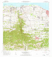
1972 Map of Camuy
USGS Topo · Published 1974About this map
The northern coastline of Puerto Rico is dominated by the neighboring municipalities of Camuy and Hatillo in this 1972 revision. The landscape transitions sharply from the coastal plains of Carrizales and Membrillo to the steep limestone topography of the Montanas and Guarionex regions in the south. The Río Camuy carves a deep valley through these hills, serving as a natural boundary near the Municipio de Hatillo Municipio de Camuy line. Local life is anchored by family-centered institutions like the Iglesia Ernesto Memorial and the Escuela Adrián Martínez Gandía. Along the shore, landmarks such as Peñón Brusi and the coastal settlements of Maracayo and Alcantarilla reflect the enduring importance of the maritime environment to these communities.
Find a feature on this map
67 named features on this map. Tap any name to fly to it.
Don’t see what you’re looking for? This feature index may not catch every label — zoom into the map to look around manually.
Map Details
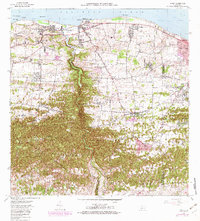
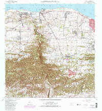
Editions of this 1972 Camuy Map
3 editions found
Other maps of this area

1938 · Camuy
USGS Topo · 1:20,000

1938 · San Sebastian
USGS Topo · 1:20,000

1938 · Quebradillas
USGS Topo · 1:20,000

1941 · San Sebastian
USGS Topo · 1:30,000

1942 · Arecibo
USGS Topo · 1:30,000

1942 · Camuy
USGS Topo · 1:30,000

1946 · Utuado
USGS Topo · 1:30,000

1946 · Bayaney
USGS Topo · 1:30,000

1946 · Arecibo
USGS Topo · 1:30,000
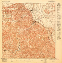
1947 · Arecibo SO
USGS Topo · 1:10,000