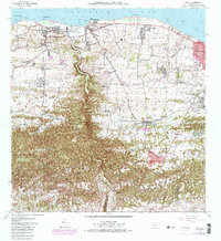
1972 Map of Camuy
USGS Topo · Published 1982About this map
The coastal settlements of Camuy and Hatillo anchor this north-shore landscape, where the Rio Camuy and Rio de Hatillo carve deep, winding canyons through the limestone karst before reaching the Atlantic Ocean. The topography transitions sharply from the coastal plains and rocky outcrops like Peñón Brusi to the dramatic haystack hills and sinkholes of the inland barrios. Social and industrial development is evident in the mid-20th century infrastructure, including the Ferrocarril rail corridor and the Planta de Tratamiento de Aguas Negras.
Find a feature on this map
62 named features on this map. Tap any name to fly to it.
Don’t see what you’re looking for? This feature index may not catch every label — zoom into the map to look around manually.
Map Details
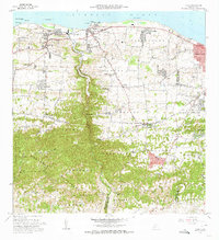
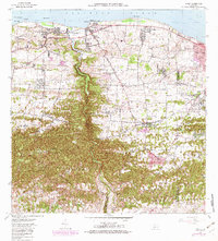
Editions of this 1972 Camuy Map
3 editions found
Other maps of this area

1938 · Camuy
USGS Topo · 1:20,000

1938 · San Sebastian
USGS Topo · 1:20,000

1938 · Quebradillas
USGS Topo · 1:20,000

1941 · San Sebastian
USGS Topo · 1:30,000

1942 · Arecibo
USGS Topo · 1:30,000

1942 · Camuy
USGS Topo · 1:30,000

1946 · Utuado
USGS Topo · 1:30,000

1946 · Bayaney
USGS Topo · 1:30,000

1946 · Arecibo
USGS Topo · 1:30,000
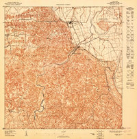
1947 · Arecibo SO
USGS Topo · 1:10,000