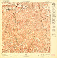
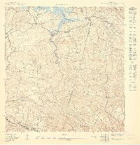
1950 Map of Camuy SO
USGS Topo · Published 1950About this map
Santa Isabel and the surrounding karst interior of northwest Puerto Rico are documented in this mid-century topographic study. The landscape is defined by the complex topography of Abra Honda and Pedro Gordo, where the subterranean and surface water systems create distinctive features like Ojo Del Agua and the winding course of the Rio Camuy. Small agrarian settlements including Martinez, Matojillo, and La Cuesta are connected by a network of local roads labeled simply as Camino.
Find a feature on this map
20 named features on this map. Tap any name to fly to it.
Don’t see what you’re looking for? This feature index may not catch every label — zoom into the map to look around manually.
Map Details
Editions of this 1950 Camuy SO Map
This is the sole edition of this map. No revisions or reprints were ever made.
Other maps of this area

1938 · Camuy
USGS Topo · 1:20,000

1938 · San Sebastian
USGS Topo · 1:20,000

1938 · Quebradillas
USGS Topo · 1:20,000

1941 · San Sebastian
USGS Topo · 1:30,000

1942 · Camuy
USGS Topo · 1:30,000

1946 · Bayaney
USGS Topo · 1:30,000
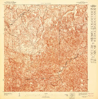
1947 · Bayaney NE
USGS Topo · 1:10,000
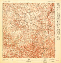
1947 · Bayaney NO
USGS Topo · 1:10,000
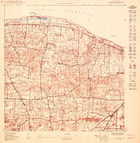
1950 · Camuy NE
USGS Topo · 1:10,000
1950 · San Sebastian NE
USGS Topo · 1:10,000