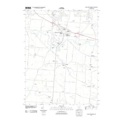
2010 Map of Canal Winchester
USGS Topo · Published 2010About this map
Canal Winchester and Lithopolis anchor this landscape southeast of Columbus, where the suburban growth of the early 21st century meets established Fairfield and Franklin County agricultural roots. The map documents numerous historic residential additions such as Lombardy Heights, Beckley Addition, and Winchester Park Addition, illustrating the post-war expansion of these small towns. Evidence of the region’s heritage is preserved in landmarks like the Bergstresser Covered Bridge and Loucks Covered Bridge over Walnut Creek.
Find a feature on this map
89 named features on this map. Tap any name to fly to it.
Don’t see what you’re looking for? This feature index may not catch every label — zoom into the map to look around manually.
Map Details
Editions of this 2010 Canal Winchester Map
This is the sole edition of this map. No revisions or reprints were ever made.
Other maps of this area

1907 · Lancaster
USGS Topo · 1:62,500

1907 · Thurston
USGS Topo · 1:62,500

1909 · Lancaster
USGS Topo · 1:62,500

1909 · Thurston
USGS Topo · 1:62,500

1914 · Circleville
USGS Topo · 1:62,500

1925 · East Columbus
USGS Topo · 1:62,500

1943 · Circleville
USGS Topo · 1:62,500

1943 · East Columbus
USGS Topo · 1:62,500

1947 · Columbus
USGS Topo · 1:250,000
1955 · Lockbourne
USGS Topo · 1:24,000