Loading...
Loading map...2023 Map of Canal Winchester
USGS Topo · Published 2023About this map
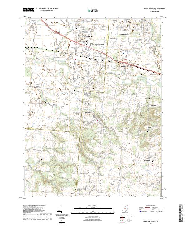
Canal Winchester and Lithopolis anchor this detailed study of the suburban and agricultural landscape southeast of Columbus. The area is characterized by a dense network of historical cemeteries and small rural settlements, including Greencastle, Marcy, and Slough. These sites, often situated near watercourses like Walnut Creek and Big Run, trace the early residential and religious development of Franklin Co and Fairfield Co.
Find a feature on this map
171 named features on this map. Tap any name to fly to it.
Don’t see what you’re looking for? This feature index may not catch every label — zoom into the map to look around manually.
Map Details
Date Portrayed2023
Date Published2023
PublisherU.S. Geological Survey
Map TypeTopographic
Scale1:24000
Physical Dimensions24 x 29 inches
Editions of this 2023 Canal Winchester Map
This is the sole edition of this map. No revisions or reprints were ever made.
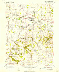
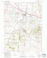
Historical Maps of Jefferson Through Time
3 maps found
Featured Locations
- Madison Township, OH
- Columbus, OH
- Groveport, Madison Township
- Pickerington, Violet Township
- Slough, Bloom Township
Source Details
SourceU.S. Geological Survey
CopyrightPublic Domain