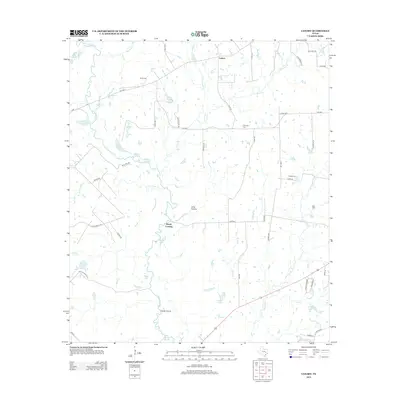
2013 Map of Canary
USGS Topo · Published 2013About this map
The Navasota River meanders through this portion of Madison County, creating a complex wetland environment of oxbow lakes and seasonal sloughs. Named water bodies like Davis Lake, Mud Lake, and San Antonio Lake line the western river corridor, while Caney Island and the Big Slough define the southern landscape. The settlement of Canary serves as a northern focal point, with rural life further evidenced by scattered family and community burial grounds, including Burns Cem, Plainview Cem, and Keefer Cem.
Find a feature on this map
64 named features on this map. Tap any name to fly to it.
Don’t see what you’re looking for? This feature index may not catch every label — zoom into the map to look around manually.
Map Details
Editions of this 2013 Canary Map
This is the sole edition of this map. No revisions or reprints were ever made.
Other maps of this area

1925 · Iola No 2
USGS Topo · 1:48,000

1925 · Marquez No. 4
USGS Topo · 1:48,000

1927 · Marquez
USGS Topo · 1:62,500

1930 · Marquez
USGS Topo · 1:62,500

1931 · Iola
USGS Topo · 1:62,500

1954 · Waco
USGS Topo · 1:250,000

1954 · Austin
USGS Topo · 1:250,000

1955 · Waco
USGS Topo · 1:250,000

1959 · Clear Lake
USGS Topo · 1:24,000

1962 · Edge
USGS Topo · 1:24,000