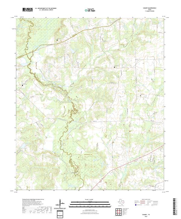
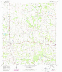
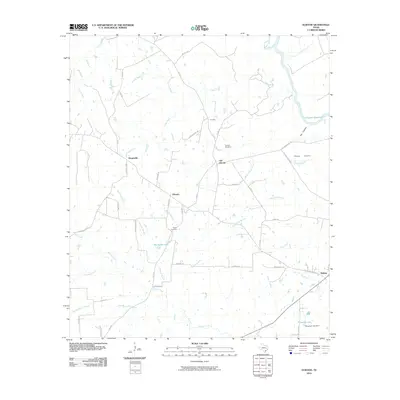
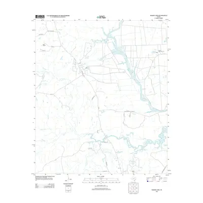
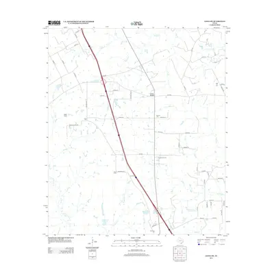
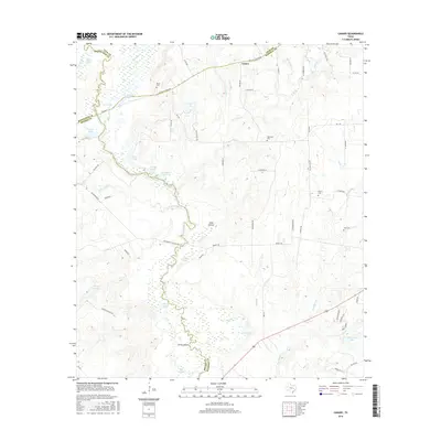
2022 Map of Canary
USGS Topo · Published 2022About this map
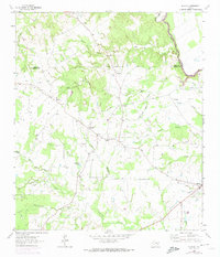
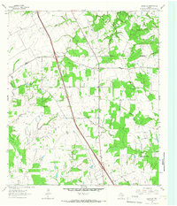
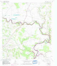
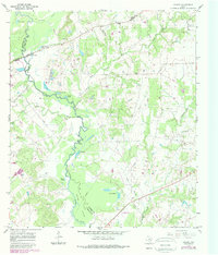
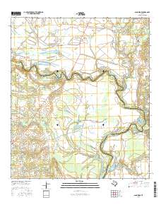
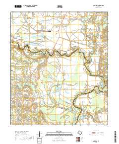
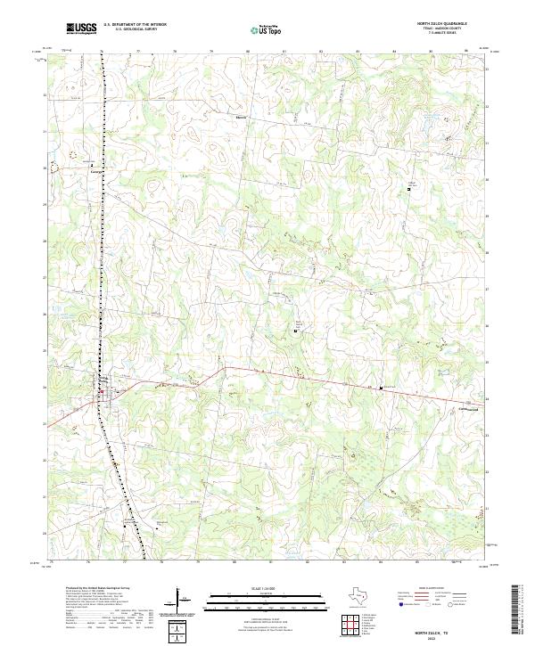
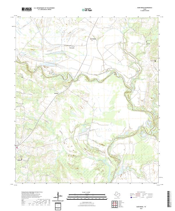
The Navasota River and its accompanying Big Slough dominate this section of the Texas landscape, carving a complex network of wetlands and oxbow lakes across the borders of Leon, Robertson, Brazos, and Madison counties. Historically significant routes like the OSR Hwy and Old San Antonio Rd trace the northern portion of the quadrangle, following paths that have connected Texas settlements for centuries. The land is defined by its water, with numerous named bodies such as San Antonio Lake, Donahoe Lake, and Stillwagon Lake punctuating the low-lying terrain near Long Hollow.
Find a feature on this map
74 named features on this map. Tap any name to fly to it.
Don’t see what you’re looking for? This feature index may not catch every label — zoom into the map to look around manually.
Map Details
Editions of this 2022 Canary Map
This is the sole edition of this map. No revisions or reprints were ever made.
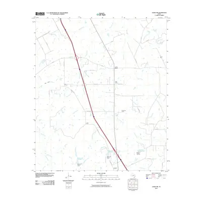
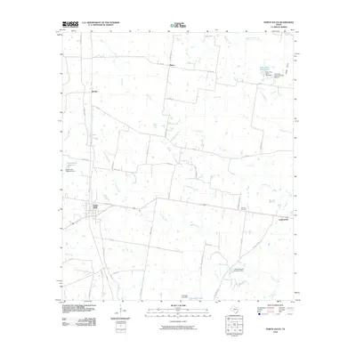
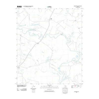
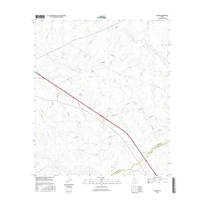
Historical Maps of Canary Through Time
43 maps found
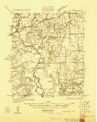
1925 Iola No 2
Madison County, TX
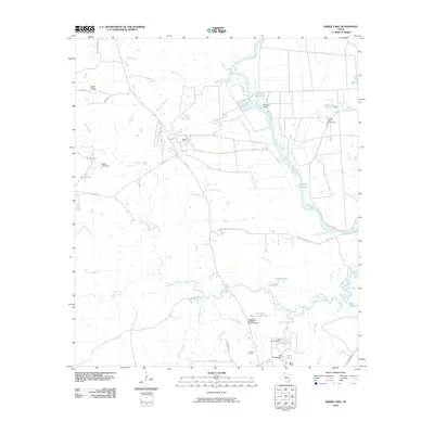
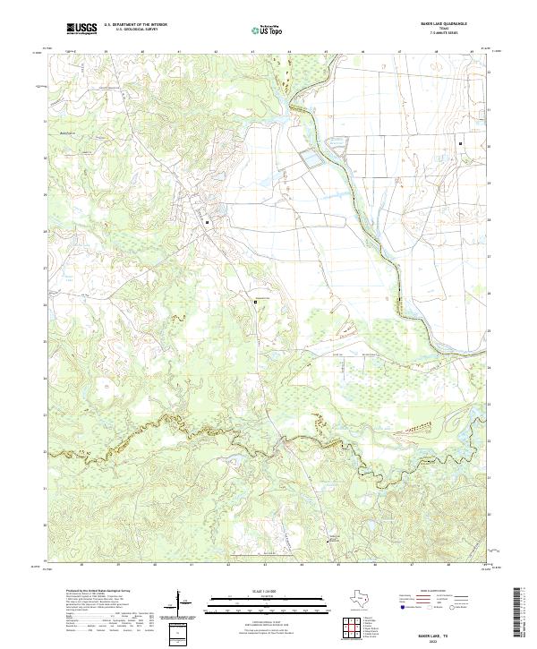
1962 Baker Lake
Madison County, TX
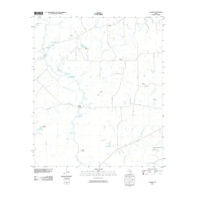
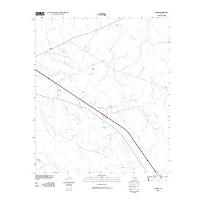
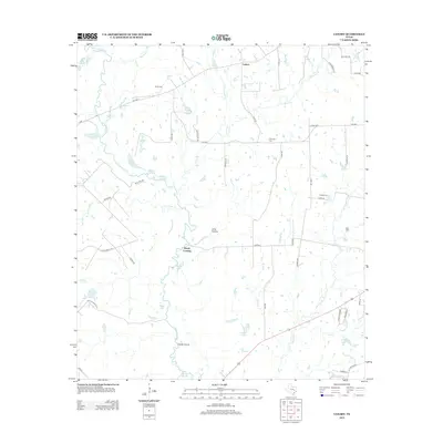
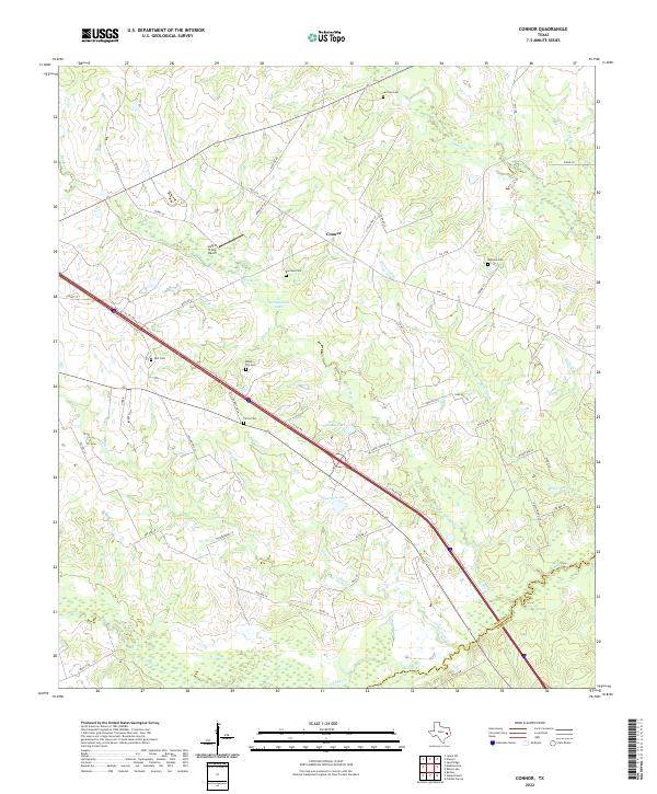
1962 Connor
Madison County, TX
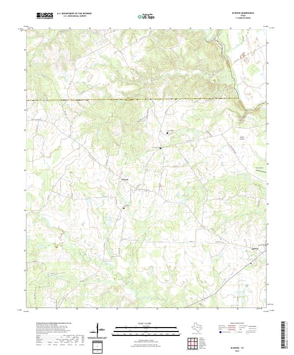
1964 Elwood
Madison County, TX
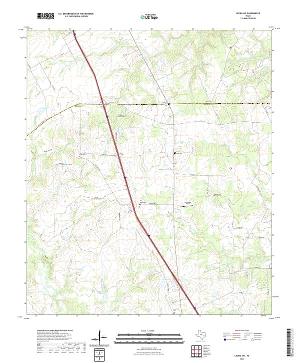
1964 Leona SW
Madison County, TX
1964 Sand Ridge
Madison County, TX
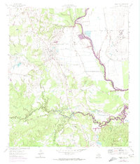
1965 Canary
Madison County, TX
1965 North Zulch
Madison County, TX
2010 Baker Lake
Madison County, TX
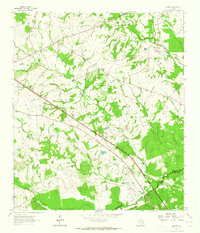
2010 Canary
Madison County, TX
2010 Connor
Madison County, TX
2010 Elwood
Madison County, TX
2010 Leona SW
Madison County, TX
2010 North Zulch
Madison County, TX
2010 Sand Ridge
Madison County, TX
2013 Baker Lake
Madison County, TX
2013 Canary
Madison County, TX
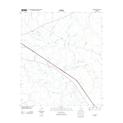
2013 Connor
Madison County, TX
2013 Elwood
Madison County, TX
2013 Leona SW
Madison County, TX
2013 North Zulch
Madison County, TX
2013 Sand Ridge
Madison County, TX
2016 Baker Lake
Madison County, TX
2016 Canary
Madison County, TX
2016 Connor
Madison County, TX
2016 Elwood
Madison County, TX
2016 Leona SW
Madison County, TX

2016 North Zulch
Madison County, TX
2016 Sand Ridge
Madison County, TX
2019 Baker Lake
Madison County, TX
2019 Canary
Madison County, TX
2019 Connor
Madison County, TX
2019 Elwood
Madison County, TX
2019 Leona SW
Madison County, TX
2019 North Zulch
Madison County, TX
2019 Sand Ridge
Madison County, TX
2022 Baker Lake
Madison County, TX
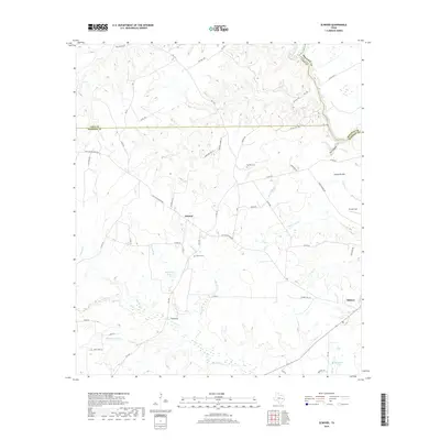
2022 Canary
Madison County, TX
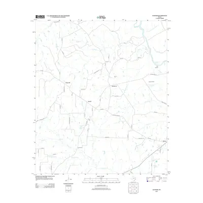
2022 Connor
Madison County, TX
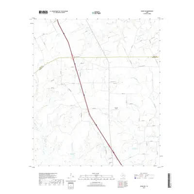
2022 Elwood
Madison County, TX
2022 Leona SW
Madison County, TX
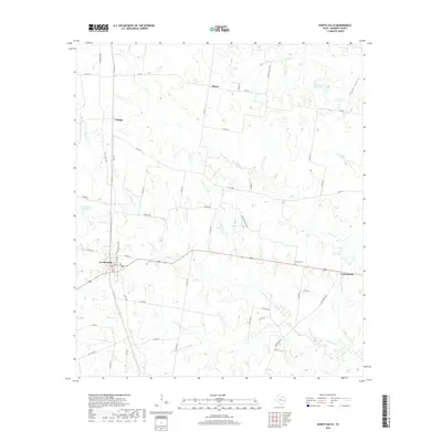
2022 North Zulch
Madison County, TX
2022 Sand Ridge
Madison County, TX