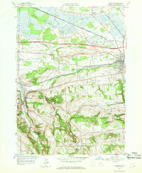
1957 Map of Canastota
USGS Topo · Published 1959About this map
Canastota sits at the nexus of Central New York's historic transportation corridors in the late 1950s. The landscape is defined by the parallel paths of the Erie Canal and the Old Erie Canal, which anchor the northern half of the region. This area shows a transition from the industrial and transit-focused valley floor to the rising elevations of the south, where Lillies Pinnacle and Cranson Hill overlook the rolling farmlands of Lincoln and Fenner.
Find a feature on this map
44 named features on this map. Tap any name to fly to it.
Don’t see what you’re looking for? This feature index may not catch every label — zoom into the map to look around manually.
Map Details
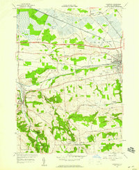
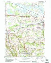
Editions of this 1957 Canastota Map
3 editions found
Other maps of this area

1895 · Chittenango
USGS Topo · 1:62,500

1895 · Oneida
USGS Topo · 1:62,500

1897 · Cazenovia
USGS Topo · 1:62,500

1898 · Oneida
USGS Topo · 1:62,500

1898 · Chittenango
USGS Topo · 1:62,500

1899 · Cazenovia
USGS Topo · 1:62,500

1902 · Chittenango
USGS Topo · 1:62,500

1902 · Morrisville
USGS Topo · 1:62,500

1902 · Oneida
USGS Topo · 1:62,500

1939 · Oneida
USGS Topo · 1:62,500