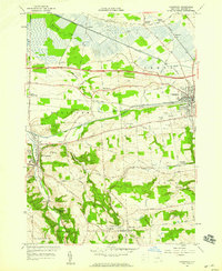
1957 Map of Canastota
USGS Topo · Published 1969About this map
The village of Canastota serves as a focal point for this Madison County landscape, where the legacy of nineteenth-century infrastructure meets mid-century transportation shifts. The historic Erie Canal remains a prominent east-west artery, paralleled by the New York Central Railroad and the more modern New York State Thruway. To the west, Chittenango anchors the valley of Chittenango Creek, a terrain characterized by abrupt elevation changes at landmarks like Lillies Pinnacle and the Perryville Falls.
Find a feature on this map
62 named features on this map. Tap any name to fly to it.
Don’t see what you’re looking for? This feature index may not catch every label — zoom into the map to look around manually.
Map Details
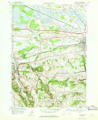
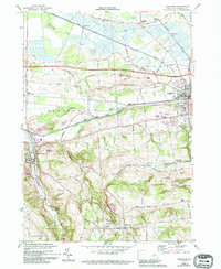
Editions of this 1957 Canastota Map
3 editions found
Other maps of this area

1895 · Chittenango
USGS Topo · 1:62,500

1895 · Oneida
USGS Topo · 1:62,500

1897 · Cazenovia
USGS Topo · 1:62,500

1898 · Oneida
USGS Topo · 1:62,500

1898 · Chittenango
USGS Topo · 1:62,500

1899 · Cazenovia
USGS Topo · 1:62,500

1902 · Chittenango
USGS Topo · 1:62,500

1902 · Morrisville
USGS Topo · 1:62,500

1902 · Oneida
USGS Topo · 1:62,500

1939 · Oneida
USGS Topo · 1:62,500