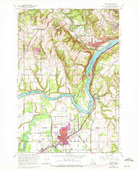
1961 Map of Canby
USGS Topo · Published 1972About this map
The Willamette River and its confluence with the Molalla River and Pudding River define this portion of the Willamette Valley. The 1960s landscape shows a mix of established riverfront communities and agricultural expansion, particularly across the level soils of French Prairie. The transportation network is a central feature, where the Southern Pacific railroad and the Pacific Highway parallel the water, while the Canby Ferry continues to provide a vital river crossing point.
Find a feature on this map
67 named features on this map. Tap any name to fly to it.
Don’t see what you’re looking for? This feature index may not catch every label — zoom into the map to look around manually.
Map Details
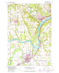
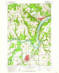
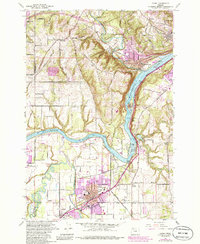
Editions of this 1961 Canby Map
4 editions found
Other maps of this area

1914 · Oregon City
USGS Topo · 1:62,500

1916 · Tualatin
USGS Topo · 1:62,500

1923 · Mount Angel
USGS Topo · 1:62,500

1939 · Molalla
USGS Topo · 1:62,500

1939 · Oregon City
USGS Topo · 1:62,500

1939 · Tualatin
USGS Topo · 1:62,500

1940 · Tualatin
USGS Topo · 1:62,500

1940 · Molalla
USGS Topo · 1:62,500

1940 · Mount Angel
USGS Topo · 1:62,500

1941 · Oregon City
USGS Topo · 1:62,500