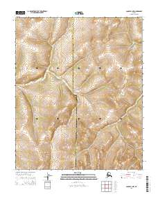
2015 Map of Candle B-1 NW
USGS Topo · Published 2015About this map
The boundary line between the Nome Census Area and the Yukon-Koyukuk Census Area bisects this topographic study, marking a significant administrative division in this part of Alaska. This area is characterized by high-elevation terrain, with the landscape organized around the Public Land Survey System grids of T1n R4w, T1n R3w, T1s R4w, and T1s R3w. The map provides a detailed view of the natural relief through precise contouring, showing the transition from higher elevations in the north and east down toward the southwestern sections. While largely devoid of named settlements or infrastructure, the map serves as a vital record of the remote boundary where the Seward Peninsula's census region meets the vast interior of the state.
Find a feature on this map
5 named features on this map. Tap any name to fly to it.
Don’t see what you’re looking for? This feature index may not catch every label — zoom into the map to look around manually.
Map Details
Editions of this 2015 Candle B-1 NW Map
This is the sole edition of this map. No revisions or reprints were ever made.
Other maps of this area

1951 · Candle
USGS Topo · 1:250,000

1954 · Candle C-2
USGS Topo · 1:63,360

1954 · Candle B-2
USGS Topo · 1:63,360

1954 · Candle C-1
USGS Topo · 1:63,360

1954 · Candle B-1
USGS Topo · 1:63,360

1955 · Candle
USGS Topo · 1:250,000

1964 · Candle
USGS Topo · 1:250,000
2015 · Candle B-2 SE
USGS Topo · 1:25,000
2015 · Candle B-1 SE
USGS Topo · 1:25,000
2015 · Candle B-1 NE
USGS Topo · 1:25,000