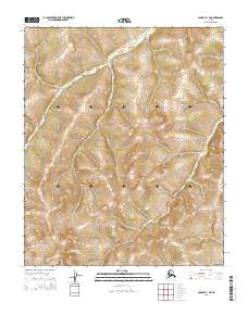
2015 Map of Candle B-1 NE
USGS Topo · Published 2015About this map
Tagagawik River meanders through the interior landscape of the Yukon-Koyukuk region, defining the drainage patterns across this remote northern terrain. This 2015 survey illustrates the river's winding path through the southern half of the quadrangle, where it carves through varied elevations within the survey boundaries of t1n r3w, t1n r2w, t1s r3w, and t1s r2w. The topographic data reveals a complex network of ridges and drainages that feed into the main waterway, highlighting the unpopulated and largely undeveloped character of this Alaskan wilderness. The map serves as a primary record of the natural topography and hydrologic features before contemporary environmental shifts further alter the subarctic landscape.
Find a feature on this map
5 named features on this map. Tap any name to fly to it.
Don’t see what you’re looking for? This feature index may not catch every label — zoom into the map to look around manually.
Map Details
Editions of this 2015 Candle B-1 NE Map
This is the sole edition of this map. No revisions or reprints were ever made.
Other maps of this area

1951 · Candle
USGS Topo · 1:250,000

1951 · Kateel River
USGS Topo · 1:250,000

1954 · Candle C-1
USGS Topo · 1:63,360

1954 · Candle B-1
USGS Topo · 1:63,360

1954 · Kateel River C-6
USGS Topo · 1:63,360
1955 · Kateel River B-6
USGS Topo · 1:63,360

1955 · Kateel River
USGS Topo · 1:250,000

1955 · Candle
USGS Topo · 1:250,000

1964 · Candle
USGS Topo · 1:250,000
2015 · Candle B-1 SE
USGS Topo · 1:25,000