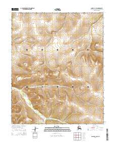
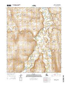
2014 Map of Candle C-3 SW
USGS Topo · Published 2014About this map
Ulukluk Cr and Masukatalik Cr define the hydrological landscape of this remote section of the Northwest Arctic Borough. These drainages flow through a varied topography of ridges and valleys within the Public Land Survey System divisions of T2N R8W and T3N R8W. The 2014 survey documents the drainage patterns and elevation contours of the Candle C-3 SW area before further contemporary changes, reflecting the pristine state of these high-latitude waterways. This topographic study is part of the National Geospatial Program, providing a modern baseline for understanding the physical geography and land management boundaries of this Alaskan territory.
Find a feature on this map
8 named features on this map. Tap any name to fly to it.
Don’t see what you’re looking for? This feature index may not catch every label — zoom into the map to look around manually.
Map Details
Editions of this 2014 Candle C-3 SW Map
This is the sole edition of this map. No revisions or reprints were ever made.
Other maps of this area

1951 · Candle
USGS Topo · 1:250,000

1955 · Candle
USGS Topo · 1:250,000

1955 · Candle B-3
USGS Topo · 1:63,360

1955 · Candle C-4
USGS Topo · 1:63,360

1955 · Candle C-3
USGS Topo · 1:63,360
1955 · Candle B-4
USGS Topo · 1:63,360

1964 · Candle
USGS Topo · 1:250,000
2014 · Candle C-3 NE
USGS Topo · 1:25,000
2014 · Candle C-3 SE
USGS Topo · 1:25,000
2014 · Candle C-4 NE
USGS Topo · 1:25,000