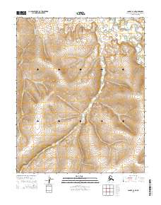
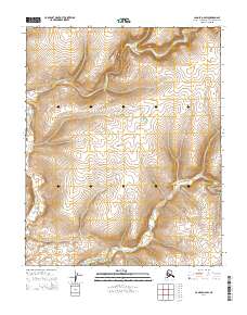
2014 Map of Candle C-3 NE
USGS Topo · Published 2014About this map
Buckland River drainage patterns define this remote corner of the Northwest Arctic, where the S Fork Buckland River winds through the northeastern edge of the quadrangle. The landscape is dominated by the hydrological network of Ulukluk Cr and Brush Cr, which carve through the high-elevation terrain before joining the larger river system. This 2014 survey documents the complex topography of the Seward Peninsula interior, capturing a snapshot of the region prior to any significant modern infrastructure or development. The detailed contour lines reveal the physical isolation of these waterways, which have served as traditional corridors for local travel and subsistence for generations.
Find a feature on this map
10 named features on this map. Tap any name to fly to it.
Don’t see what you’re looking for? This feature index may not catch every label — zoom into the map to look around manually.
Map Details
Editions of this 2014 Candle C-3 NE Map
This is the sole edition of this map. No revisions or reprints were ever made.
Other maps of this area

1951 · Candle
USGS Topo · 1:250,000

1954 · Candle C-2
USGS Topo · 1:63,360

1954 · Candle D-2
USGS Topo · 1:63,360

1955 · Candle
USGS Topo · 1:250,000

1955 · Candle C-3
USGS Topo · 1:63,360
1955 · Candle D-3
USGS Topo · 1:63,360

1964 · Candle
USGS Topo · 1:250,000
2014 · Candle D-3 SW
USGS Topo · 1:25,000
2014 · Candle C-3 SE
USGS Topo · 1:25,000
2014 · Candle D-2 SW
USGS Topo · 1:25,000