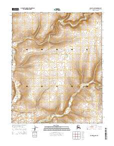
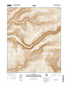
2014 Map of Candle D-2 SW
USGS Topo · Published 2014About this map
The N Fork Buckland River winds through this remote corner of the Northwest Arctic Borough in a 2014 survey. This portion of the Seward Peninsula is characterized by the convergence of major waterways, where the N Fork Buckland River and the Middle Fork Buckland River navigate the undulating tundra. The map provides a look at the land's surface as recorded by the U.S. Geological Survey in the early 21st century, showing the complex drainage patterns and elevation contours that define the local environment. It serves as a record of the landscape's natural features and survey boundaries, including t5n r6w and t4n r6w, documenting the geography before any significant human development or infrastructure was introduced to these specific townships.
Find a feature on this map
8 named features on this map. Tap any name to fly to it.
Don’t see what you’re looking for? This feature index may not catch every label — zoom into the map to look around manually.
Map Details
Editions of this 2014 Candle D-2 SW Map
This is the sole edition of this map. No revisions or reprints were ever made.
Other maps of this area

1951 · Candle
USGS Topo · 1:250,000

1954 · Candle C-2
USGS Topo · 1:63,360

1954 · Candle D-2
USGS Topo · 1:63,360

1955 · Candle
USGS Topo · 1:250,000

1955 · Candle C-3
USGS Topo · 1:63,360
1955 · Candle D-3
USGS Topo · 1:63,360

1964 · Candle
USGS Topo · 1:250,000
2014 · Candle C-3 NE
USGS Topo · 1:25,000
2014 · Candle D-2 NW
USGS Topo · 1:25,000
2014 · Candle D-3 NE
USGS Topo · 1:25,000