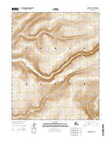
2014 Map of Candle D-3 NE
USGS Topo · Published 2014About this map
Fish River carves a winding path through this portion of the Northwest Arctic, serving as the dominant geographic feature in an otherwise largely unnamed landscape. This 2014 survey highlights the intricate contouring of the interior terrain, where the river's basin dictates the shape of the surrounding ridges and valleys. The map primarily reflects the vast Public Land Survey System divisions, delineating townships such as t7n r7w and t6n r7w within the Seward Meridian. This representation is essential for understanding the administrative and hydrographic layout of this remote Alaskan interior before more recent environmental or development changes, providing a precise record of the watercourse as it existed early in the twenty-first century.
Find a feature on this map
7 named features on this map. Tap any name to fly to it.
Don’t see what you’re looking for? This feature index may not catch every label — zoom into the map to look around manually.
Map Details
Editions of this 2014 Candle D-3 NE Map
This is the sole edition of this map. No revisions or reprints were ever made.
Other maps of this area

1951 · Candle
USGS Topo · 1:250,000

1951 · Selawik
USGS Topo · 1:250,000

1954 · Candle D-2
USGS Topo · 1:63,360

1955 · Candle
USGS Topo · 1:250,000
1955 · Candle D-3
USGS Topo · 1:63,360

1955 · Selawik A-3
USGS Topo · 1:63,360

1957 · Selawik
USGS Topo · 1:250,000

1964 · Candle
USGS Topo · 1:250,000
1985 · Selawik A-2
USGS Topo · 1:63,360
2014 · Candle D-3 SW
USGS Topo · 1:25,000