
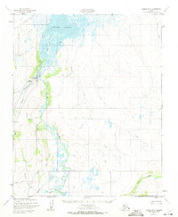
1951 Map of Candle D-6
USGS Topo · Published 1957About this map
Candle stands as the primary hub of activity in this remote subarctic corridor during the early 1950s, situated at the confluence of Jump Creek and Candle Creek. The landscape is heavily defined by mining infrastructure, with extensive Ditch systems, a Pipeline, and a Telephone Line connecting the settlement to various outposts and cabins along the water. The presence of Mine Tailings and two distinct airfields, Candle No 1 Field and Candle No 2 Field, highlights the area's dependence on aerial transport and resource extraction.
Find a feature on this map
29 named features on this map. Tap any name to fly to it.
Don’t see what you’re looking for? This feature index may not catch every label — zoom into the map to look around manually.
Map Details
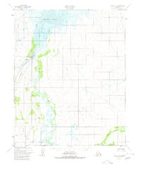
Editions of this 1951 Candle D-6 Map
3 editions found
Other maps of this area

1950 · Kotzebue A-1
USGS Topo · 1:63,360

1950 · Bendeleben C-1
USGS Topo · 1:63,360

1950 · Bendeleben
USGS Topo · 1:250,000

1950 · Candle C-5
USGS Topo · 1:63,360

1950 · Bendeleben D-1
USGS Topo · 1:63,360

1950 · Candle C-6
USGS Topo · 1:63,360

1951 · Candle
USGS Topo · 1:250,000

1951 · Selawik
USGS Topo · 1:250,000

1951 · Bendeleben
USGS Topo · 1:250,000

1951 · Kotzebue
USGS Topo · 1:250,000