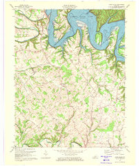
1970 Map of Cane Valley
USGS Topo · Published 1972About this map
The boundary between Green and Adair counties is defined here by the winding course of the Green River, which forms dramatic oxbows at Tibbs Bend and Lemon Bend. A significant portion of the landscape is dominated by the waters of Green River Lake, where inundation has reshaped the valley's character, leaving only the higher elevations like Taylor Ridge and Pike Ridge above the water line.
Find a feature on this map
57 named features on this map. Tap any name to fly to it.
Don’t see what you’re looking for? This feature index may not catch every label — zoom into the map to look around manually.
Map Details
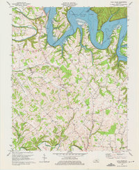
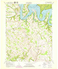
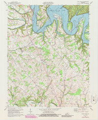
Editions of this 1970 Cane Valley Map
4 editions found
Other maps of this area

1952 · Mannsville
USGS Topo · 1:24,000

1953 · Gradyville
USGS Topo · 1:24,000

1953 · Campbellsville
USGS Topo · 1:24,000

1953 · Montpelier
USGS Topo · 1:24,000

1953 · Gresham
USGS Topo · 1:24,000

1953 · Cane Valley
USGS Topo · 1:24,000

1954 · Knifley
USGS Topo · 1:24,000

1954 · Columbia
USGS Topo · 1:24,000

1954 · Greensburg
USGS Topo · 1:24,000

1957 · Winchester
USGS Topo · 1:250,000