
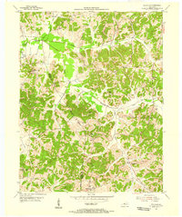
1953 Map of Cannelton
USGS Topo · Published 1954About this map
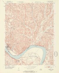
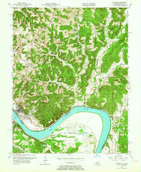
The Ohio River carves a deep arc through this mid-century landscape, separating Cannelton, Indiana, from Hawesville, Kentucky. This 1953 survey captures the era's infrastructure, from the Louisville and Nashville railroad tracks following the southern riverbank to a ferry crossing that connects the two states. The Indiana side is defined by narrow ridges and hollows, such as Leckner Ridge and Blue Wells Hollow, which reveal a rural pattern of development marked by numerous country churches and burial grounds like Chestnut Grove Ch and St Michael Cem.
Find a feature on this map
68 named features on this map. Tap any name to fly to it.
Don’t see what you’re looking for? This feature index may not catch every label — zoom into the map to look around manually.
Map Details
Editions of this 1953 Cannelton Map
3 editions found
Other maps of this area

1900 · St Meinrad
USGS Topo · 1:62,500

1903 · St. Meinrad
USGS Topo · 1:62,500

1903 · Tell City
USGS Topo · 1:62,500

1934 · Cannelton
USGS Topo · 1:62,500

1949 · Cannelton
USGS Topo · 1:24,000

1953 · Cloverport
USGS Topo · 1:24,000

1953 · Tell City
USGS Topo · 1:24,000
1953 · Mattingly
USGS Topo · 1:24,000
1953 · Rome
USGS Topo · 1:24,000
1953 · Pellville
USGS Topo · 1:24,000