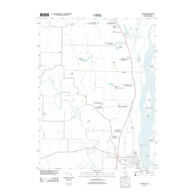
2012 Map of Canton
USGS Topo · Published 2012About this map
The Mississippi River corridor in Lewis County defines this landscape, where river-driven commerce and small upland settlements meet. The bustling riverfront near College Hill is anchored by the Canton Ferry, a critical link across the water to the islands like Tully Island and White Island. Inland, the terrain is shaped by the Wyaconda River and Crooked Creek, which feed a complex network of conservation infrastructure, including numerous watershed structures and dams such as the Buck-Doe Run Watershed Structure Number 25 Dam.
Find a feature on this map
80 named features on this map. Tap any name to fly to it.
Don’t see what you’re looking for? This feature index may not catch every label — zoom into the map to look around manually.
Map Details
Editions of this 2012 Canton Map
This is the sole edition of this map. No revisions or reprints were ever made.
Other maps of this area

1903 · Kahoka
USGS Topo · 1:125,000

1936 · Keokuk
USGS Topo · 1:62,500

1946 · Mendon
USGS Topo · 1:62,500

1948 · Mendon
USGS Topo · 1:62,500

1949 · Kahoka SE
USGS Topo · 1:24,000

1949 · St. Patrick
USGS Topo · 1:24,000

1950 · Saint Patrick
USGS Topo · 1:24,000

1950 · Kahoka SE
USGS Topo · 1:24,000

1950 · Keokuk
USGS Topo · 1:62,500

1950 · La Grange
USGS Topo · 1:24,000