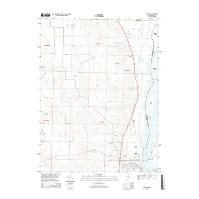
2015 Map of Canton
USGS Topo · Published 2015About this map
Canton sits at the edge of the Mississippi River in Lewis County, anchoring a landscape where the river's influence is seen in features like Canton Chute and the nearby Pool 20. The town is the site of Culver-Stockton Coll, with several burial grounds such as Forest Grove Cemetery and Oak Bluff Cemetery providing deep genealogical roots for the community. The river itself is dotted with named landforms including Buzzard Island, Hardy Bar Island, and Tully Island, marking the shifting boundary between Missouri and Illinois.
Find a feature on this map
84 named features on this map. Tap any name to fly to it.
Don’t see what you’re looking for? This feature index may not catch every label — zoom into the map to look around manually.
Map Details
Editions of this 2015 Canton Map
This is the sole edition of this map. No revisions or reprints were ever made.
Other maps of this area

1903 · Kahoka
USGS Topo · 1:125,000

1936 · Keokuk
USGS Topo · 1:62,500

1946 · Mendon
USGS Topo · 1:62,500

1948 · Mendon
USGS Topo · 1:62,500

1949 · Kahoka SE
USGS Topo · 1:24,000

1949 · St. Patrick
USGS Topo · 1:24,000

1950 · Saint Patrick
USGS Topo · 1:24,000

1950 · Kahoka SE
USGS Topo · 1:24,000

1950 · Keokuk
USGS Topo · 1:62,500

1950 · La Grange
USGS Topo · 1:24,000