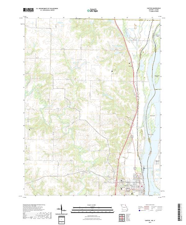
2021 Map of Canton
USGS Topo · Published 2021About this map
Canton is the primary riverfront hub along the Mississippi River on this contemporary survey, serving as a gateway to Northeastern Missouri. The riverine landscape is dominated by the Canton Chute and a series of substantial islands, including Tully Island and White Island, which shape the navigation and drainage of the region. On the Missouri side, the Wyalconda River winds through the hills, while the smaller Meyer settlement sits across the border in Illinois.
Find a feature on this map
77 named features on this map. Tap any name to fly to it.
Don’t see what you’re looking for? This feature index may not catch every label — zoom into the map to look around manually.
Map Details
Editions of this 2021 Canton Map
This is the sole edition of this map. No revisions or reprints were ever made.
Other maps of this area
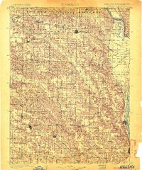
1903 · Kahoka
USGS Topo · 1:125,000
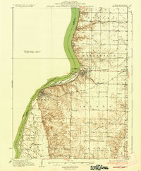
1936 · Keokuk
USGS Topo · 1:62,500
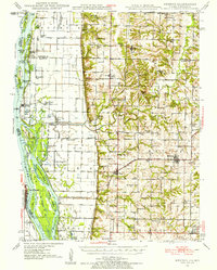
1946 · Mendon
USGS Topo · 1:62,500
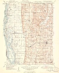
1948 · Mendon
USGS Topo · 1:62,500
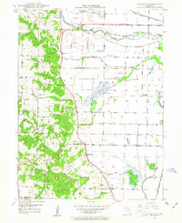
1949 · Kahoka SE
USGS Topo · 1:24,000
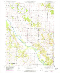
1949 · St. Patrick
USGS Topo · 1:24,000
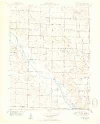
1950 · Saint Patrick
USGS Topo · 1:24,000
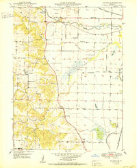
1950 · Kahoka SE
USGS Topo · 1:24,000
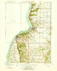
1950 · Keokuk
USGS Topo · 1:62,500
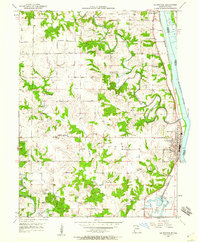
1950 · La Grange
USGS Topo · 1:24,000