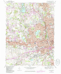
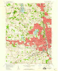
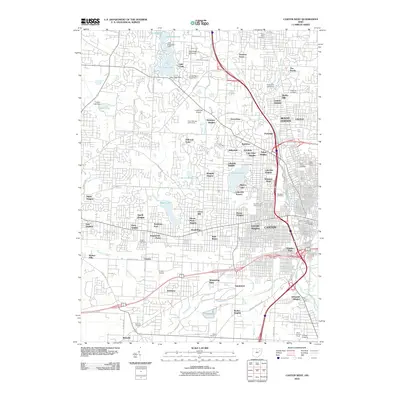
1967 Map of Canton West
USGS Topo · Published 1985About this map
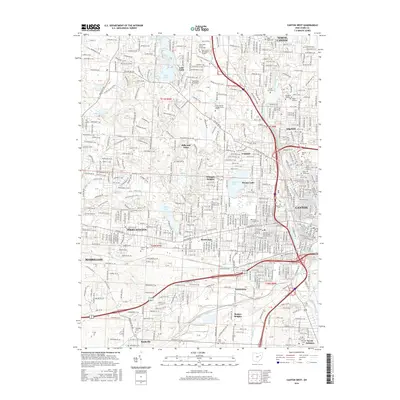
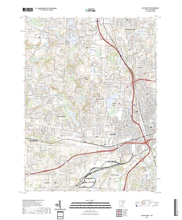
Canton and its western suburbs appear during a period of significant mid-century expansion, showcasing the dense residential and institutional growth of Stark County. The map highlights major cultural landmarks including the Nat Pro Football Hall of Fame and the nearby McKinley Monument and McKinley Memorial Park. The landscape is a mix of established industrial zones near the Norfolk and Western lines and newer suburban developments like Hills and Dales and Whipple Heights. Educational and religious institutions are particularly dense here, ranging from the Kent State University campus and Brunnerdale Seminary to numerous parochial schools like St Johns Sch and Our Lady of Peace Sch. This survey also documents the local water features like Meyers Lake and Lake Cable as they became centers for community activity and residential planning.
Find a feature on this map
102 named features on this map. Tap any name to fly to it.
Don’t see what you’re looking for? This feature index may not catch every label — zoom into the map to look around manually.
Map Details
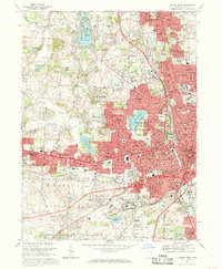
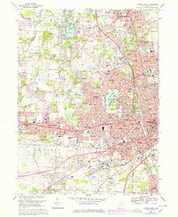
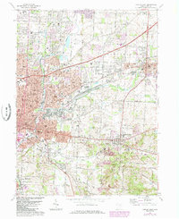
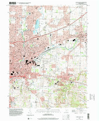
Editions of this 1967 Canton West Map
3 editions found
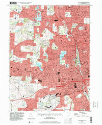
Historical Maps of Canton Through Time
16 maps found
1958 Canton East
Stark County, OH
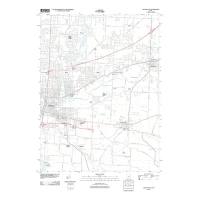
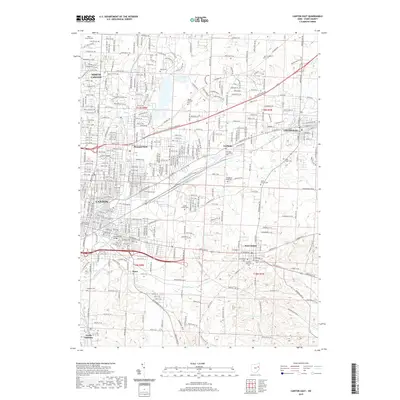
1958 Canton West
Stark County, OH
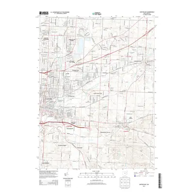
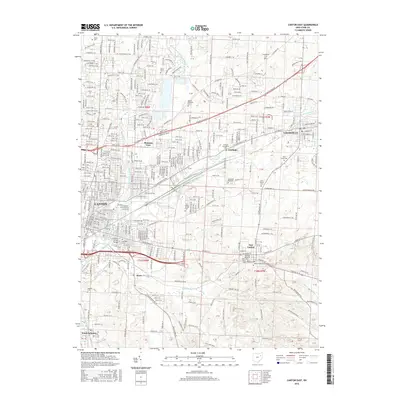
1967 Canton East
Stark County, OH
1967 Canton West
Stark County, OH
1994 Canton East
Stark County, OH
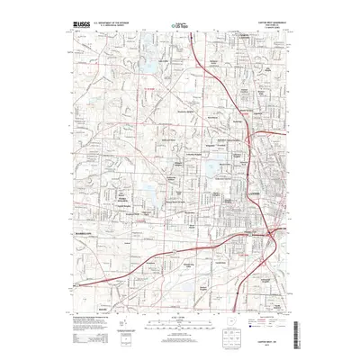
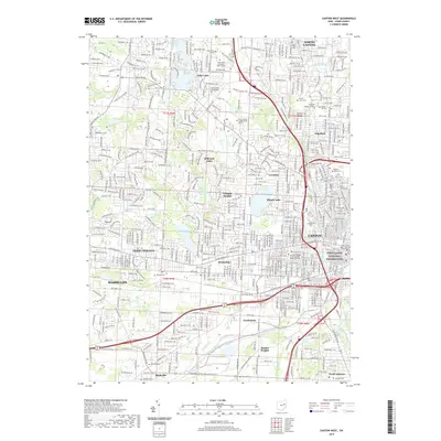
1994 Canton West
Stark County, OH
2010 Canton East
Stark County, OH
2010 Canton West
Stark County, OH
2013 Canton East
Stark County, OH
2013 Canton West
Stark County, OH
2016 Canton East
Stark County, OH
2016 Canton West
Stark County, OH
2019 Canton East
Stark County, OH
2019 Canton West
Stark County, OH
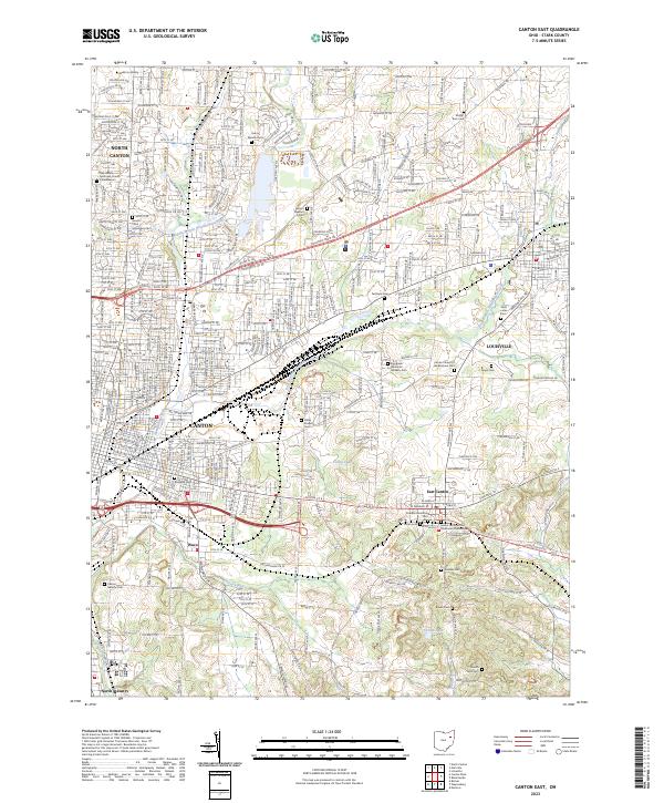
2023 Canton East
Stark County, OH
2023 Canton West
Stark County, OH