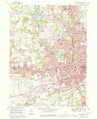
1967 Map of Canton West
USGS Topo · Published 1978About this map
Canton expands westward into Plain and Perry townships in this mid-century topographic survey, showing a landscape defined by rapid suburbanization and industrial legacy. The era is marked by the newly established Nat Pro Football Hall of Fame and Fawcett Stadium, signaling the city's emerging identity as a sports destination. Extensive urban growth is visible in the development of Hills and Dales and Whipple Heights, while the eastern edge of Massillon anchors the western border. Transport networks such as the Penn Central and Norfolk and Western railroads interface with modern corridors like Interstate 77. This map captures a significant period of institutional expansion, including the footprints of Kent State University and Malone College, alongside long-standing local landmarks like the McKinley Mon and the recreation areas around Meyers Lake and Sippo Lake.
Find a feature on this map
128 named features on this map. Tap any name to fly to it.
Don’t see what you’re looking for? This feature index may not catch every label — zoom into the map to look around manually.
Map Details
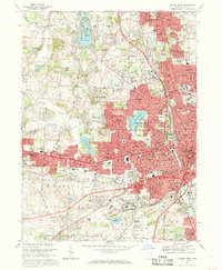
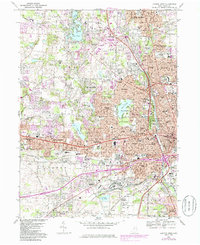
Editions of this 1967 Canton West Map
3 editions found
Other maps of this area

1901 · Massillon
USGS Topo · 1:62,500

1901 · Canton
USGS Topo · 1:62,500

1903 · Massillon
USGS Topo · 1:62,500

1903 · Canton
USGS Topo · 1:62,500

1912 · Dover
USGS Topo · 1:62,500

1914 · Navarre
USGS Topo · 1:62,500

1944 · Navarre
USGS Topo · 1:62,500

1944 · Dover
USGS Topo · 1:62,500

1951 · Canton
USGS Topo · 1:250,000

1951 · Bolivar
USGS Topo · 1:24,000