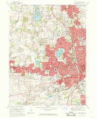
1967 Map of Canton West
USGS Topo · Published 1969About this map
Canton and Massillon dominate this late 1960s landscape, their urban corridors linked by the residential and industrial stretches of Reedurban and Perry Heights. The map highlights a period of significant suburban expansion and institutional development, notably featuring the Nat Pro Football Hall of Fame near Stadium. Local education and religious life are represented by numerous parochial institutions like St Joan of Arc Sch and Brunnerdale Seminary, alongside the Kent State University campus near North Canton.
Find a feature on this map
78 named features on this map. Tap any name to fly to it.
Don’t see what you’re looking for? This feature index may not catch every label — zoom into the map to look around manually.
Map Details
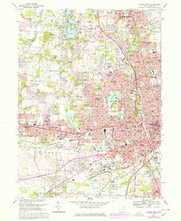
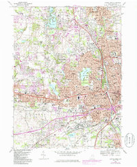
Editions of this 1967 Canton West Map
3 editions found
Other maps of this area

1901 · Massillon
USGS Topo · 1:62,500

1901 · Canton
USGS Topo · 1:62,500

1903 · Massillon
USGS Topo · 1:62,500

1903 · Canton
USGS Topo · 1:62,500

1912 · Dover
USGS Topo · 1:62,500

1914 · Navarre
USGS Topo · 1:62,500

1944 · Navarre
USGS Topo · 1:62,500

1944 · Dover
USGS Topo · 1:62,500

1951 · Canton
USGS Topo · 1:250,000

1951 · Bolivar
USGS Topo · 1:24,000