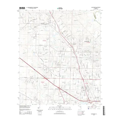
2015 Map of Cantonment
USGS Topo · Published 2015About this map
The Escambia River defines the northeastern boundary of this area, where lowlands near Stubbs Lake meet the rising terrain of Farm Hill. This 2015 snapshot of the Florida panhandle shows a landscape defined by significant suburban growth and transportation corridors, with Cantonment and Gonzalez serving as central hubs of activity. For genealogists, the map is particularly rich in cemetery locations, including Santa Marie Cem, Spreull Cem, and Mission Cem, alongside the sprawling Pensacola Memorial Gardens. The drainage patterns of Elevenmile Creek, Spanish Mill Cr, and Eightmile Cr reveal how the local topography has historically dictated the placement of residential developments like Satsuma Heights and Pine Forest. The dense network of local roads and rail lines illustrates the modern evolution of these Escambia County communities.
Find a feature on this map
262 named features on this map. Tap any name to fly to it.
Don’t see what you’re looking for? This feature index may not catch every label — zoom into the map to look around manually.
Map Details
Editions of this 2015 Cantonment Map
This is the sole edition of this map. No revisions or reprints were ever made.
Other maps of this area

1920 · Milton
USGS Topo · 1:62,500

1921 · Pensacola
USGS Topo · 1:62,500

1921 · Fort Barrancas
USGS Topo · 1:62,500

1921 · Muscogee
USGS Topo · 1:62,500

1941 · Fort Barrancas
USGS Topo · 1:62,500

1941 · Muscogee
USGS Topo · 1:62,500

1941 · Pensacola
USGS Topo · 1:62,500

1941 · Milton
USGS Topo · 1:62,500

1942 · Pensacola
USGS Topo · 1:62,500

1943 · Muscogee
USGS Topo · 1:62,500