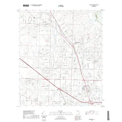
2018 Map of Cantonment
USGS Topo · Published 2018About this map
The Escambia River corridor and its surrounding northwest Florida communities are mapped here during a period of significant suburban expansion and infrastructure development. The northern section is anchored by Cantonment and the residential pocket of Farm Hill, where family history is anchored by sites like Spreull Cem and Santa Marie Cem. As the landscape transitions south toward Ensley and Pine Forest, a dense grid of residential streets emerges between major transit arteries like Pensacola Blvd and W Nine Mile Rd.
Find a feature on this map
46 named features on this map. Tap any name to fly to it.
Don’t see what you’re looking for? This feature index may not catch every label — zoom into the map to look around manually.
Map Details
Editions of this 2018 Cantonment Map
This is the sole edition of this map. No revisions or reprints were ever made.
Other maps of this area

1920 · Milton
USGS Topo · 1:62,500

1921 · Pensacola
USGS Topo · 1:62,500

1921 · Fort Barrancas
USGS Topo · 1:62,500

1921 · Muscogee
USGS Topo · 1:62,500

1941 · Fort Barrancas
USGS Topo · 1:62,500

1941 · Muscogee
USGS Topo · 1:62,500

1941 · Pensacola
USGS Topo · 1:62,500

1941 · Milton
USGS Topo · 1:62,500

1942 · Pensacola
USGS Topo · 1:62,500

1943 · Muscogee
USGS Topo · 1:62,500